Tag Archives: 3DM Products
-
News
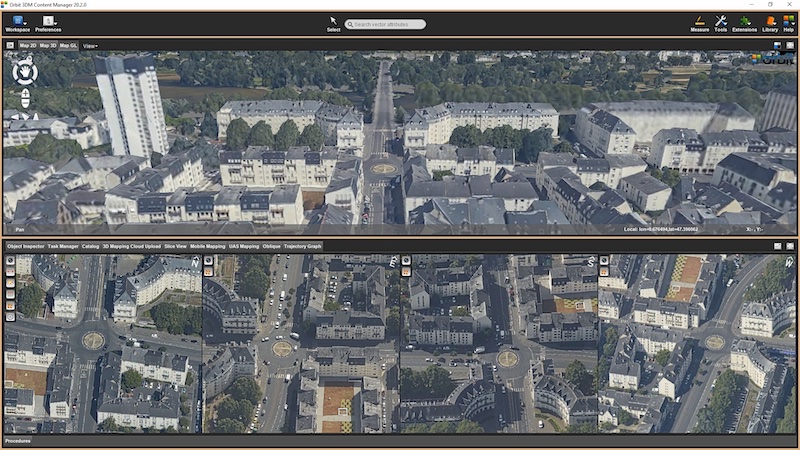
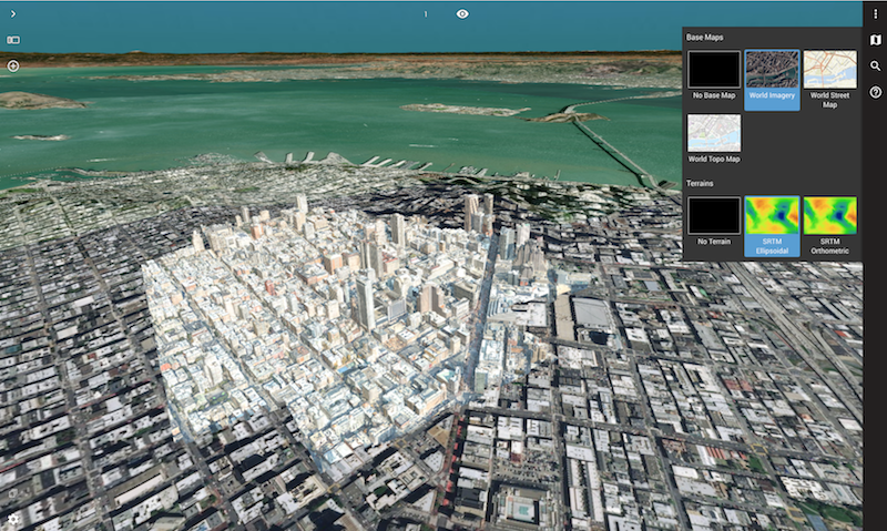
Releasing version 20.3
March 5th 2020Orbit GT announces the launch of version 20.3 of its 3D Mapping portfolio. We’ve skipped a few announcements, so it’s about time to wrap up and summarize what we have included in the latest releases. As usual, you can check all the updates on our knowledge base and download the updates from our product pages
-
News
Orbit GT launches 3D Mapping portfolio v19.7 with new website
July 24th 2019Orbit GT launches version 19.7 for its full 3D Mapping portfolio with some spectacular upgrades. At the same time, a new website is revealed. “We’re proud of our fast update schedule, delivering new and enhanced features to our customers worldwide,” says Peter Bonne, CEO of Orbit GT. “The new orbitgt.com website provides our customers with
-
News
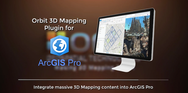
Orbit GT launches 3D Mapping plugin for Esri ArcMap, updates ArcPro and ArcOnline plugins
Orbit GT launches the Esri ArcMap plugin for its 3D Mapping portfolio. “Our 3D Mapping front-end is now free available off the shelf for Esri’s ArcMap, “Says Peter Bonne, CEO of Orbit GT. “Next to plugins for ArcOnline and ArcGIS Pro, we now additionally provide a ready-to-use plugin for ArcMap upon popular request.” The 3DJuly 3rd 2019 -
News
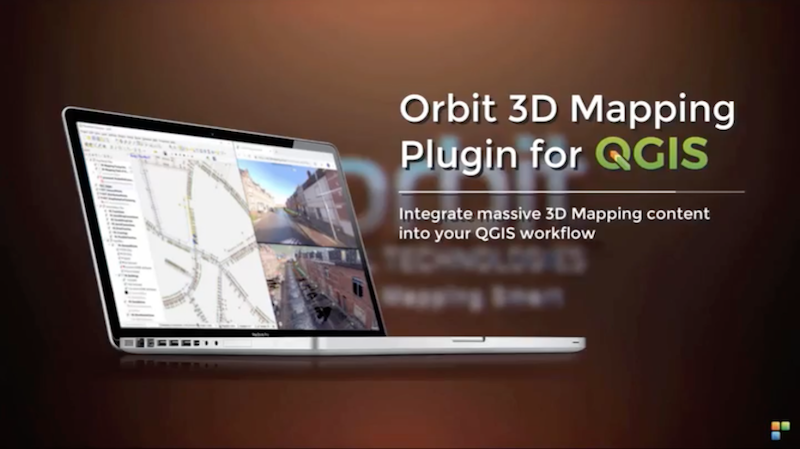
Orbit GT launches 3D Mapping portfolio v19.5 and QGIS plugin update.
May 17th 2019Orbit GT has launched version 19.5 for its full 3D Mapping portfolio, including a significant upgrade for the QGIS plugin. “Regular updates of our portfolio bring new features and updates to our customers in the fastest possible way, “Says Peter Bonne, CEO of Orbit GT. “A special update to our QGIS integration is part of
-
News
Orbit GT releases SDK and QGIS Plugin v19.3
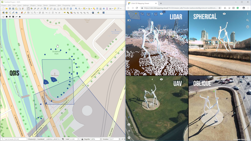
“We’re happy to announce the release of our new SDK for viewing and integrating massive 3D Mapping content into any workflow“, says Peter Bonne, CEO of Orbit GT. “At the same time, a brand new QGIS plugin based on this new SDK is now available for download.” The 3D Mapping Viewer SDK has gone throughMarch 19th 2019 -
News
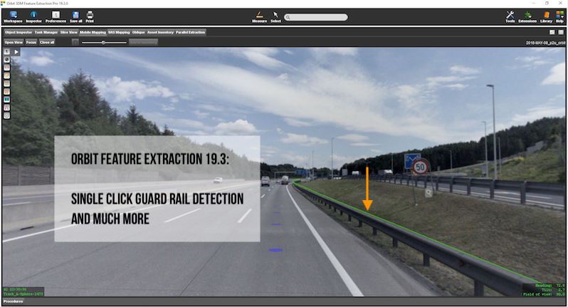
Orbit GT releases version 19.3 of its 3D Mapping portfolio
“With version 19.3, our 3D Mapping portfolio again takes a huge leap forward”, says Peter Bonne, CEO of Orbit GT. “This new release has much more to offer than you would think at first look. Improvements in every product, and quite some eye-catchers as well. Available for download today ! ” Here are a fewMarch 12th 2019 -
News
Orbit GT supports all types UAV imagery on desktop and www.3dmapping.cloud
Orbit GT supports all types of UAV imagery in its desktop products and SaaS product 3dmapping.cloud. “It’s great to announce that our latest releases support the various image content produced by UAVs”, says Peter Bonne, CEO of Orbit GT. “while mapping projects produce Nadir images, other projects like pole inspection produce front-facing or oblique imagery.February 15th 2019 -
News
Orbit GT exhibits and demoes version 19 at ILMF, Denver
January 17th 2019“Always happy to return to ILMF, a great yearly event !”, says Peter Bonne, CEO of Orbit GT. “Sensor & data fusion, from Street Level Mobile Mapping to Aerial Oblique Imagery, is still a major obstacle for many construction companies, surveyors, contractors, and governments. Orbit GT’s solutions change this today. Come have alook as Orbit
-
News
Orbit GT releases version 19 of 3D Mapping portfolio
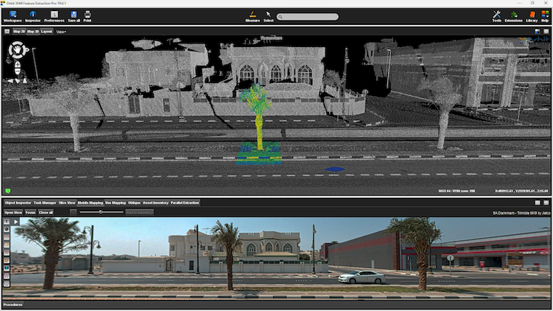
November 26th 2018“I’m happy to announce that version 19.0 is now available for download”, says Peter Bonne, CEO of Orbit GT. “Our customers can now immediately take advantage of new features and updates. This release includes all 3D Mapping products and offer a wide range of new and improved functionalities.” 3DM Feature Extraction portfolio contains a Basic,
-
News
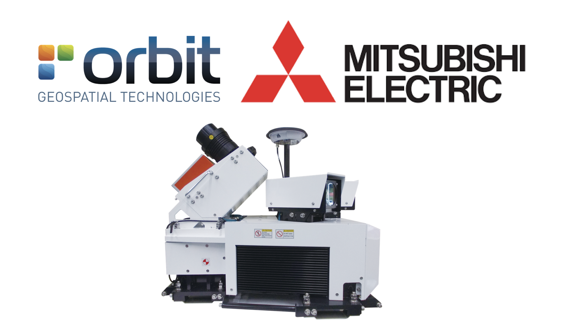
Orbit GT and Mitsubishi to co-operate and demo at Intergeo, Frankfurt
October 10th 2018Orbit GT and Mitsubishi will showcase Mobile Mapping content from Mitsubishi’s Mobile Mapping system at Intergeo, Frankfurt. “We’ve very pleased to announce that Orbit GT is supporting Mistubishi’s Mobile Mapping solution”, says Peter Bonne, CEO of Orbit GT. “Both companies will be showcaseing Orbit GT solutions based on Mitsubishi data at the Intergeo show.” “Mitsubishi