This year’s International LiDAR Mapping Forum again takes place in Denver Colorado. Orbit GT is hosting a booth and welcome you all.
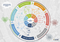
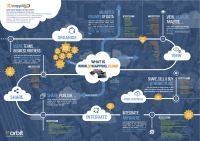
Orbit GT will be presenting its version 17 desktop solutions for Mobile Mapping, Indoor Mapping, UAS Mapping and Oblique Mapping. Furthermore, Orbit GT will be announcing and pre-launching its new cloud-based product “3D Mapping Cloud” !
The 3D Mapping Cloud has been prepared for over 2 years. Being experts in the management of big data in domains of Mobile Mapping, UAS Mapping, Oblique Mapping and Indoor Mapping, a cloud based product is the logical next step. Anyone using large volumes of point clouds and/or imagery will be thrilled by this product. The flexible, versatile, and hardware neutral solution is exactly what many organisations have been waiting for. Read more at www.3Dmapping.cloud !
Another highlight is the release of the new Indoor Mapping solution. This release has been developed to help surveyors meet the whole challenge of indoor mapping work without requiring the use of other applications. Indoor Mapping v17 bucks the trend by including functions for point cloud and imagery management, as well as a set of tools for quick and easy creation of floor plans out of indoor mapping data. On top of that, the software boasts a range of functions for semi-automatic feature-extraction, enabling users to extract in 3D any point, line distance, area, and more, and save that as a new feature, e.g., in a GIS layer.
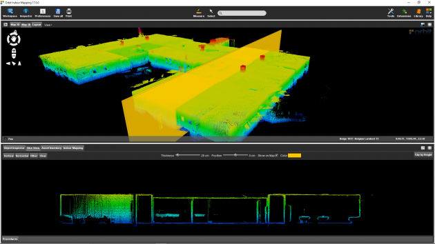
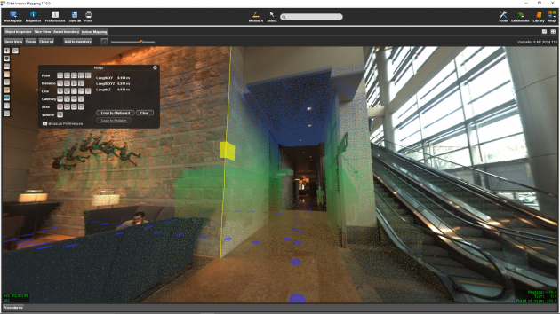
The software should feel familiar to Orbit GT users, as it is based on the technology the company has already been using in its mobile and UAV mapping software. Demonstrating the company’s commitment to wide usability, Orbit GT designed the software to be compatible with all currently developed indoor mapping systems. That is, users can import data from any existing indoor mapping hardware using a generic interface, and the software will automatically align imagery and point cloud data.
Visit us at booth No 20!
Monday Feb 13: 1:00pm – 7:00pm
Tuesday Feb 14: 9:00am – 5:00pm
Wednesday Feb 15: 9:00am – 4:00pm
Hyatt Regency Denver at Colorado Convention Center
650 15th Street, Denver, Colorado, USA 80202

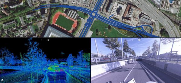
Road Management in Bern, Switzerland
Until the realisation of the herein presented solution, it was inconceivable to view several thousand kilometres of point cloud and over 1.4 million images using standard computers at a public authority ...
Read More
Read More
Thanks to the innovative data acquisition method and the powerful viewer, the client can be provided with a result that covers many other needs in addition to road condition analysis.
Upcoming events
No posts found.