Mobile Mapping to improve water utility services in Bolivia
SEMAPA, a water utility company located in the city of Cochabamba (Bolivia) launched a competitive bidding to find a company that brings to the table a viable solution to update, visualize, manage and measure their field assets and pipe network information, knowing that they had serious budgetary restrictions; assets and pipe network were stretched out over an area covering around 3.000 hectares; the starting point was an outdated and most ...
Read More
Read More
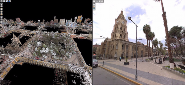
Geospatial information is crucial to properly manage companies whose assets are fully deployed on the field, as in the case of a water utility
Upcoming events
No posts found.