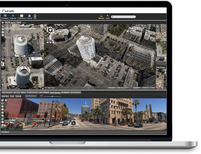
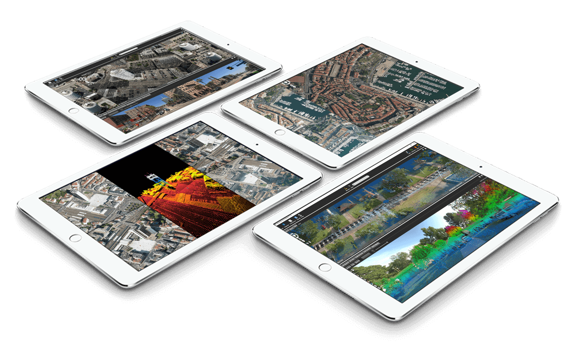
SMART 3D MAPPING
Software to capture, model and share 3D mapping content
Leverage UAS mapping
A milestone release for all professionals in the UAS Mapping business. UAS data management, professional feature extraction, and easy data sharing.
Innovating indoor mapping
A revolutionary change for mapping: indoor data management, optimized feature extraction, and online data sharing.
Making oblique mainstream
Mapping software for Data Management, Feature Extraction, and Sharing.

Remember when 3D Mapping was
too [typed string0=”much data?” string1=”slow?” string2=”complex?” string3 =”much a challenge?” typeSpeed=”40″ startDelay=”0″ backSpeed=”40″ backDelay=”500″ loop=”1″]
Smart decision-making requires smart systems. That can easily handle huge data-volumes. That can merge different types of 3D-data from different sources. That can share and publish data in the blink of an eye. Thus, enabling you to manage your 3D mapping content to its fullest capacity.

3D MAPPING IS NO LONGER A CHALLENGE
Imagine a world in which cities are smart and driven by data collected by drones, airplanes, vehicles and individuals. What if we could capture and model that data in 3D, giving you clear insights by bringing the outside world to your desk.
That’s exactly what we envision with Orbit GT’s 3D mapping software.
MAKING CITIES SMART
Imagine a world in which cities are smart and driven by data collected by drones, airplanes, vehicles and individuals.
THE OUTSIDE WORLD AT YOUR DESKTOP
Capture and model point cloud data and imagery in 3D, giving you clear insights by bringing the outside world to your desk.
MANAGE MASSIVE DATA WITH EASE
Overcome the challenge of managing and working with huge amounts of data in real-time.
INCREASE EFFICIENCY EXPONENTIALLY
Imagine a world in which cities are smart and driven by data collected by drones, airplanes, vehicles and individuals.