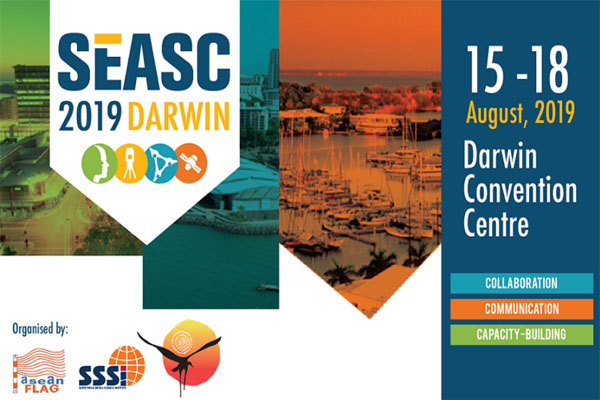
The International LiDAR Mapping Forum again takes place in Denver Colorado. Orbit GT welcomes you all.
“Coming home to ILMF is a great yearly event. It’s my pleasure to announce the latest version of Orbit 3D Mapping Feature Extraction Pro, our top product with fully automated extraction tools, from Street Level Mobile Mapping to Aerial Oblique Imagery.”, says Peter Bonne, CEO of Orbit GT. “As reality capture techniques evolves and data volumes grow, so does the need for tools that can disseminate and share these large volumes. That’s exactly Orbit GT’s top expertise. No more time to waste on tiling and partitioning.”
As the current version 18 bundles all the expertise and technology to support the various types of 3D mapping techniques, street level Mobile Mapping can be instantly combined with Aerial Oblique, UAV and Terrestrial data collection, offering rich data analysis capabilities. Semi- and full auto detection tools speed up conversion of raw 3D capture data to actionable information in DOT’s day-to-day operations.
Come visit us.
Visit us in the heart of Denver: Colorado Convention Center
650 15th Street, Denver,
Colorado, 80202
United States
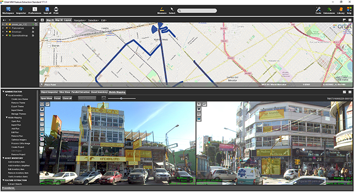
La Matanza, Argentina, optimizes public advertising using Mobile Mapping
The survey and identification of public advertizement space for the calculation of the advertising rights of La Matanza allows the city to quantify and typify all the installations and/or advertising elements through which the economic activity of a certain social actor is developed and materialized according to the ordinance tariff 2017 for the advertising rights of the municipality of La Matanza ...