Tag Archives: UAS Mapping
-
News

Orbit GT supports all types UAV imagery on desktop and www.3dmapping.cloud
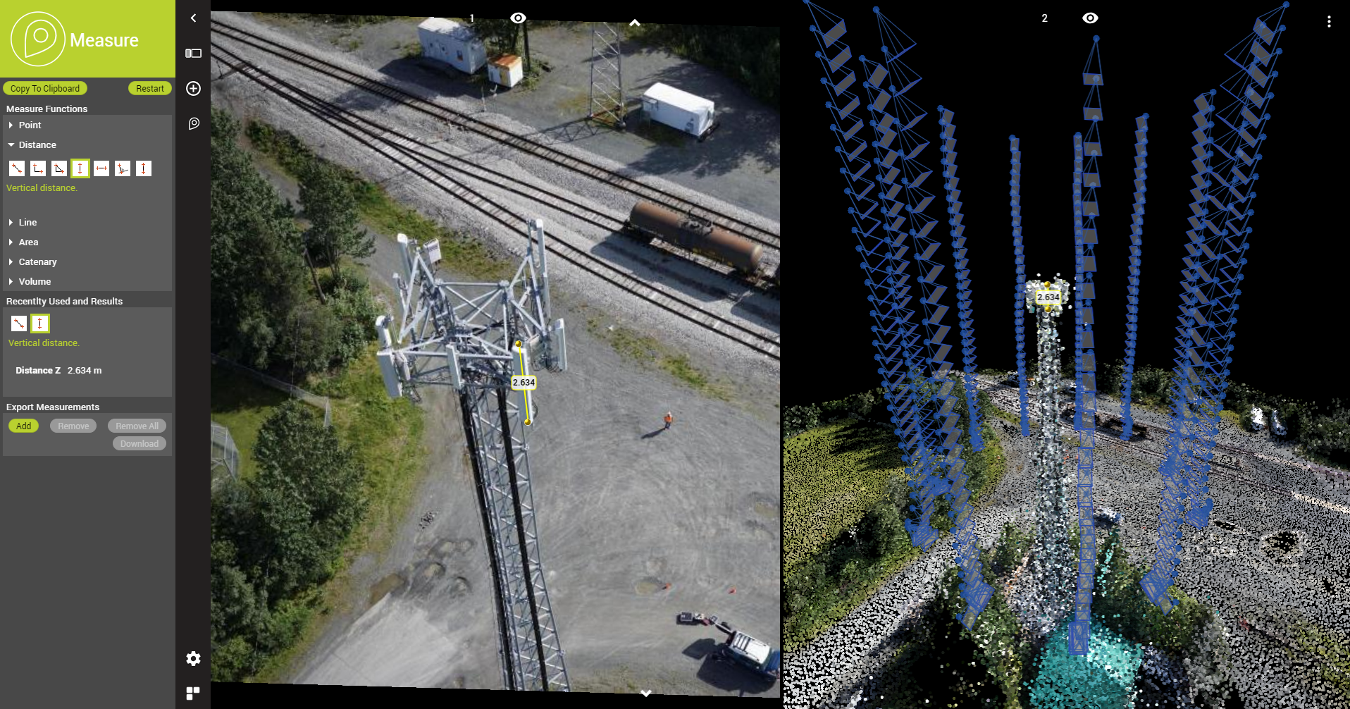
Orbit GT supports all types of UAV imagery in its desktop products and SaaS product 3dmapping.cloud. “It’s great to announce that our latest releases support the various image content produced by UAVs”, says Peter Bonne, CEO of Orbit GT. “while mapping projects produce Nadir images, other projects like pole inspection produce front-facing or oblique imagery.February 15th 2019 -
page
3D UAS / Drone Mapping
Professional UAS mapping Complete software suite to manage, extract and share Orbit's 3D Mapping solution is a serie of impressive software solutions for all professional UAV users engaged in 3D mapping. Based on years of experience in high precision UAS mapping, these products cover the complete UAS workflow. From fundamental data management after image processing,September 6th 2017