Manage and share 3D mapping data
Mobile, Oblique, Indoor, UAS, Terrestrial
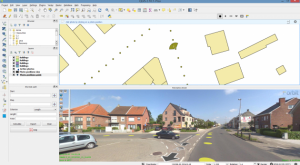
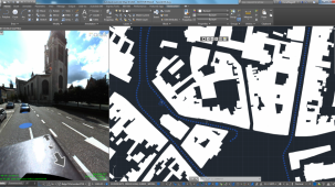
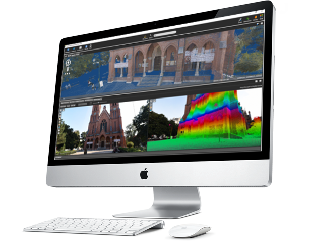
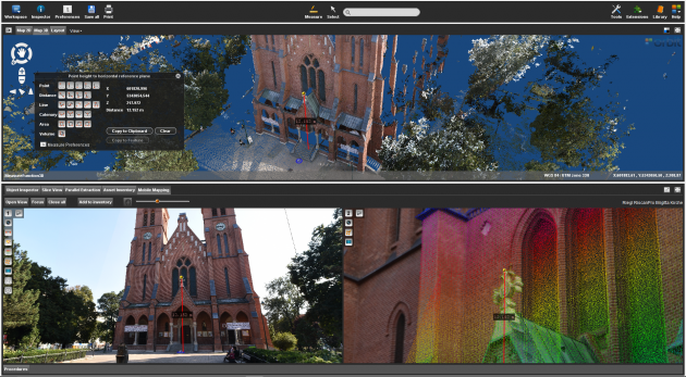
Manage company-wide 3D mapping data (point cloud & imagery) using the powerful 3DM Content Manager. Organize and optimize all data before pushing it for further production or sharing within or outside the organization. Auto produce & update content faster and richer than ever before using Orbit’s Feature Extraction portfolio. Use the 3DM Publisher or 3D Mapping Cloud solution to share over the internet, embed in your corporate software, and deliver to mobile devices.

3D mapping products
3DM Publisher
On-premises solution
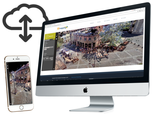
Publish all mobile mapping content online from your local server
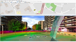
Supports all imagery and unlimited size point clouds
Define user credentials, multiple publications, server pool
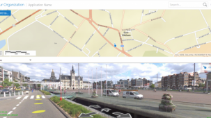
Share on the web, mobile devices, and integrate using SDK

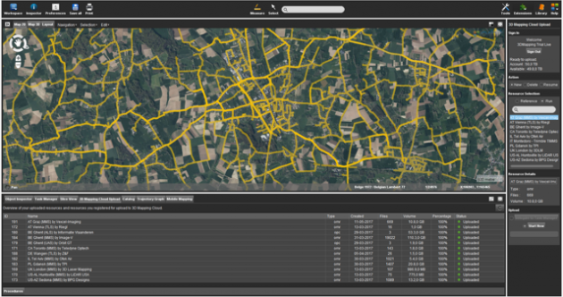
3DM Mapping Cloud
Cloud-based solution
Store & publish all mobile mapping content online
SaaS-based sharing solution
Supports all imagery and unlimited size point clouds
Share on the web, mobile devices, and integrate using SDK