Innovating indoor mapping
Complete software suite to manage, extract and share
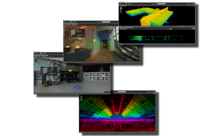
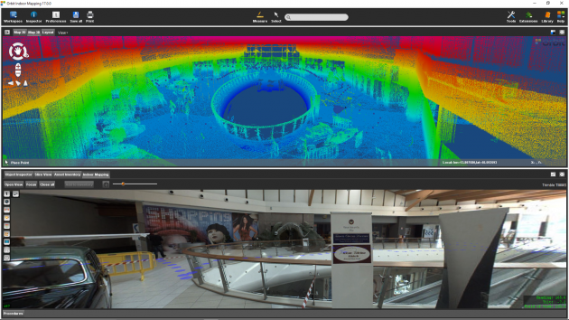
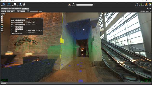
Use the powerful Orbit 3D Mapping solutions to produce, update indoor content, and share the 3D indoor data faster and more effective than ever before. Orbit’s 3D Mapping solution is the most forward-looking on the market and supports all currently developed indoor mapping systems.

3D mapping products
3DM Publisher
On-premises solution
Publish all mobile mapping content online from your local server
Supports all imagery and unlimited size point clouds
Define user credentials, multiple publications, server pool
Share on the web, mobile devices, and integrate using SDK
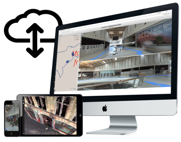

3DM Mapping Cloud
Cloud-based solution
Store & publish all mobile mapping content online
SaaS-based sharing solution
Supports all imagery and unlimited size point clouds
Share on the web, mobile devices, and integrate using SDK

