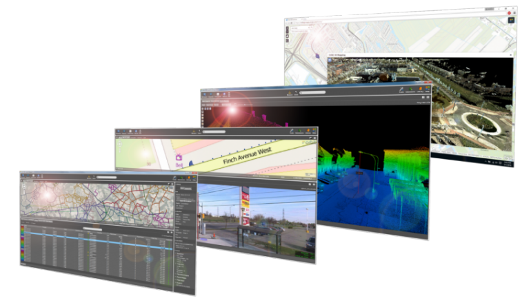
Complete software suite to manage, extract and share 3D data
Manage and optimize your mobile mapping data after capture using the powerful 3DM Content Manager. Auto produce & update assets faster and richer than ever before based on the 3DM Feature Extraction portfolio. Install the 3DM Publisher on-premises or activate your profile on 3dmapping.cloud to share mobile mapping projects over the internet, embed in corporate software, or to make them available via mobile devices.

3D mapping products
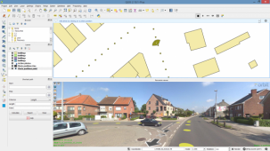
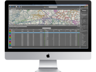
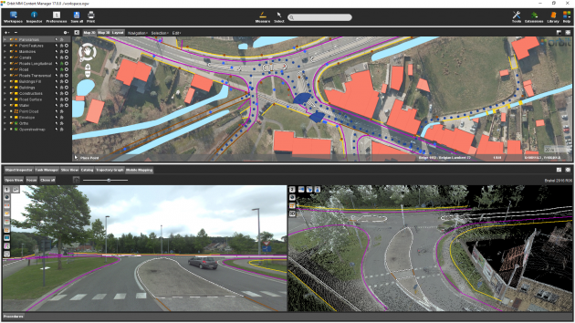
3DM Content Manager
Manage your data after capture
Organize & manage, catalog & archive
Improve your data by semi-automated point cloud cleaning
QA/QC via instant trajectory adjustment using gcp constraints
Deliver ready-made projects for desktop extraction jobs or upload to share online
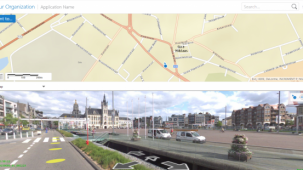
3DM Publisher
On-premises solution
Publish all mobile mapping content online from your local server
Supports all imagery and unlimited size point clouds
Define user credentials, multiple publications, server pool
Share on the web, mobile devices, and integrate using SDK
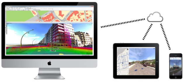

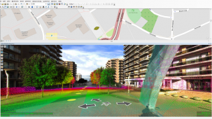
3DM Mapping Cloud
Cloud-based solution
Store & publish all mobile mapping content online
SaaS-based sharing solution
Supports all imagery and unlimited size point clouds
Share on the web, mobile devices, and integrate using SDK