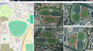
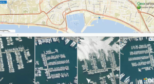
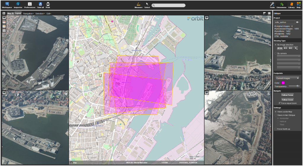
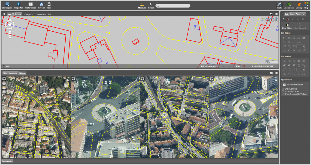
Oblique mapping
Orbit’s Oblique portfolio is the most complete on the market. Orbit Oblique supports all camera systems which makes it vendor neutral, a required new and open approach to the use of oblique data.
Furthermore, it blends seamlessly with other 3D data, such as street-level Mobile Mapping or Drone based content.


3D mapping products
3DM Publisher
On-premises solution
Publish all mobile mapping content online from your local server
Supports all imagery and unlimited size point clouds
Define user credentials, multiple publications, server pool
Share on the web, mobile devices, and integrate using SDK
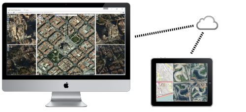

3D Mapping Cloud
Cloud-based solution
Store & publish all mobile mapping content online
SaaS-based sharing solution
Supports all imagery and unlimited size point clouds
Share on the web, mobile devices, and integrate using SDK