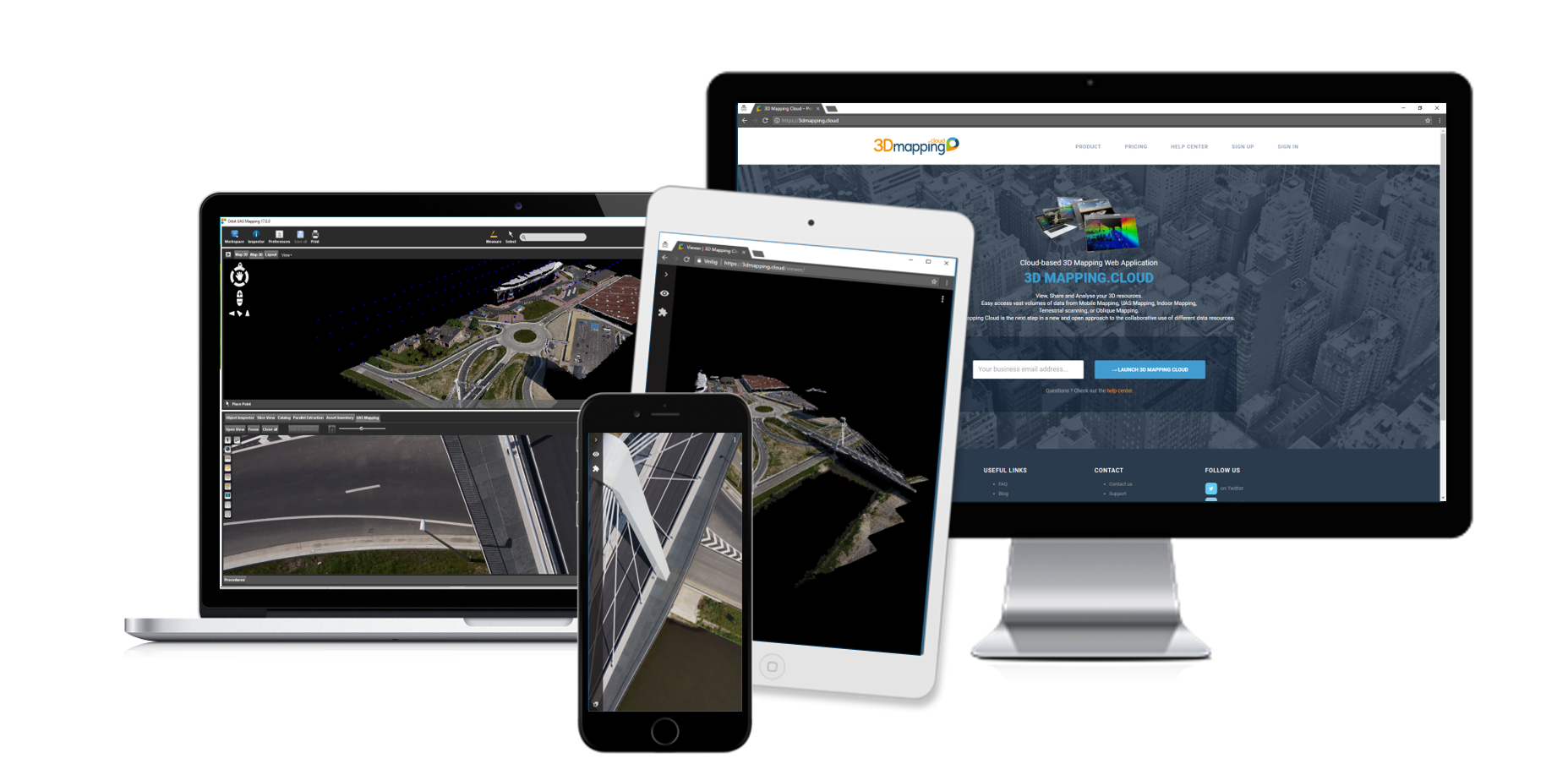
Professional UAS mapping
Complete software suite to manage, extract and share
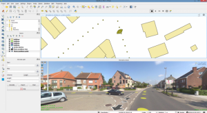
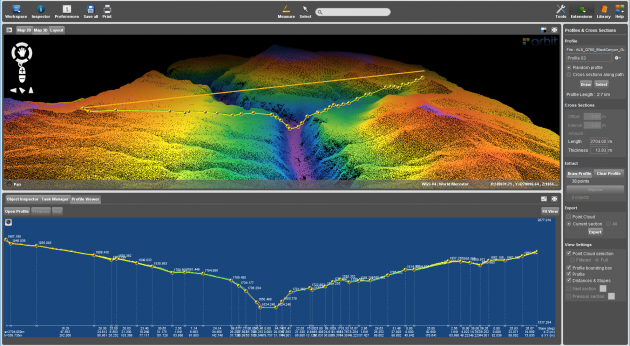
Orbit’s 3D Mapping solution is a serie of impressive software solutions for all professional UAV users engaged in 3D mapping. Based on years of experience in high precision UAS mapping, these products cover the complete UAS workflow. From fundamental data management after image processing, over advanced feature extraction combining images & point clouds, up to online publishing of all produced 3D mapping data in the customer’s workflow.

3D mapping products
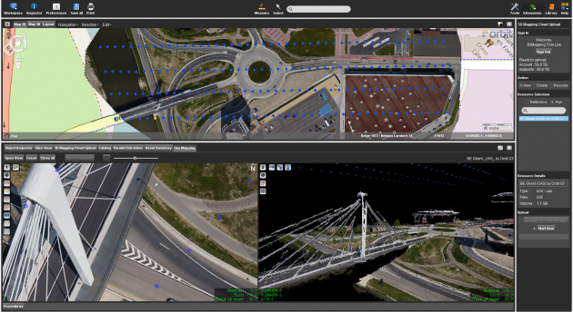
3DM Publisher
On-premises solution
Publish all uas mapping content online from your local server
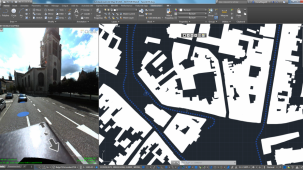
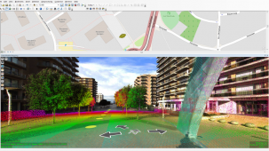
Supports imagery and size point clouds
Define user credentials, multiple publications, server pool
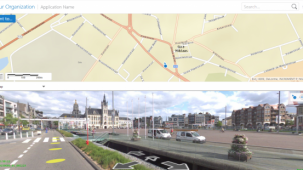
Share on the web, mobile devices, and integrate using SDK
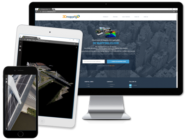

3DM Mapping Cloud
Cloud-based solution
Store & publish all mobile mapping content online
SaaS-based sharing solution
Supports all imagery and unlimited size point clouds
Share on the web, mobile devices, and integrate using SDK