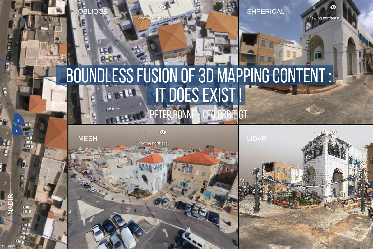
Much of Reality Capture data is being collected for the purpose of a single job. And it’s a quite expensive part of that job, especially when we consider mobile mapping. So why throw it away or lock it up in a closet ? Let’s see how we can find a second life, or even a second sale of such valuable content.
When you go collect data for a job, it is of priority importance that the data meets the requirements of the job, no more, no less. But if you are planning for a second life for your data, there are a few other things to keep in mind.
Create Reusable Content
1. A Spherical Image
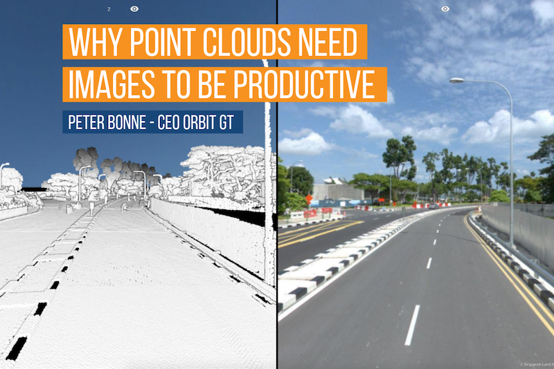
However valuable the LiDAR data is, a majority of users is still better off with an image. The spherical image has the best options, as everyone is familiar with it thanks to Google’s Street View. But in our line of geospatial business, we try to have better data, better images, better positioning, recent data and so on. That’s all good, but don’t forget to install a spherical camera on your sensor unit: this image transfers your data from 10 engineers to 1 000’s of non-trained users and potential buyers!
2. Clean Up
As a specialist, you can find your way amongst anomalies, lidar shadows, obstructions, outliers, mismatches, misalignments, and other unwanted results in the LiDAR/Image data. When you’re the one collecting and interpreting the data, you probably don’t care as you know your way around. But if you want to sell your data, you must realize that your new customer may not be such a specialist as you are. Cleaning up the data is a good effort to make to be sure the customer will not ask his money back.
3. Improve standard Positional Accuracy.
Of course, you’ve done your part on the accuracy side, but you may have focussed on those positions that are required for the job. A new customer will expect an overall mean value, a steady value throughout the coverage (one may exempt urban canyons, tunnels).
4. Deliver logical units, eliminate double passes.
Reality Capture by Mobile Mapping collects data by run, i.e. the data collected during a single drive. Specialists are very much OK using runs to analyze data and extract the required information for the job. But let’s be honest, there’s no one else interested in how the driver decided to make his way through the city, or which turns he/she took to cover all ROWs. A new customer has a more generic way to address a chunk of mobile mapping data : by city, by county, by road, by address. So it is very relevant, if not required to process your runs into a single comprehensive pack of data, e.g. the county, the city, the suburb, the highway. while doing so, you may see that your driver did some double passes. That’s OK. Just select the one with least quality and delete it, keeping the pass with the best quality. You may also blend these passes together to double your data density, if and only if you have matched them perfectly beforehand.
All these tasks can be performed by Orbit GT’s 3DM Content Manager. Now you understand why its called Content Manager.
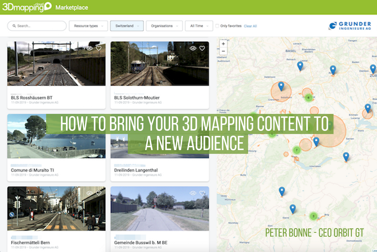
List in the Marketplace
So now you have a dataset that is comprehensive, reliable (no anomalies, steady positioning) and accessible. There’s only one thing left to do : put it on the market. That’s why we have built a Marketplace : www.3dmapping.cloud/marketplace . Here, the Data Producer and the Data Consumer find each other.
Of course, why spend your time and effort to all this unless you really have a sale. Therefore, the Marketplace allows to post your content by specifications only. The interested customer can contact you, you both strike a deal, and then you go to work as lined out above. The 3DM Content Manager even includes the upload-to-the-cloud tool so you can simply share this dataset with your customer in a single click.
Let your business grow ! We’re happy we can help.
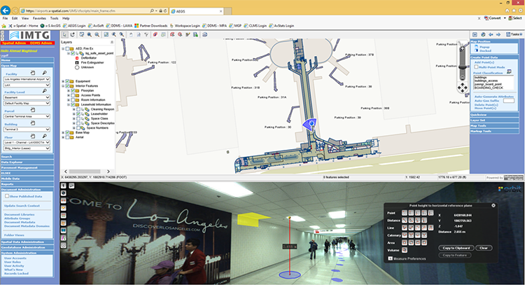
Indoor mapping at Los Angeles Airport: A Complex Spatial Story
Collecting and managing spatial data at airports is challenging. Just about everything in the airport needs to be tracked. From pavement management, runway markings and lighting to indoor space usage, equipment’s and signage, all of these need to be integrated with various environmental, safety, security, operational or facility and maintenance management tools ...