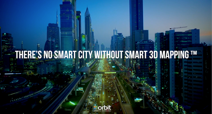
The Smart City rush is all around us. Mobility, Sustainability, Water Management, IoT, Autonomous Driving, and so on. So let’s go back to what a City or Government needs to do. What is its job in the first place ? The answer is fairly simple : A city, and by that extend any government, needs to do 2 things : Take care of its people, and take care of its land. Each of these tasks consists of many different aspects, resulting in various departments, outsourced or not, planning, priorities, budgets, etc. The daily job of a City government is quite complex indeed. But let’s come back to the basics.
1. Land.
Let me pose this question : how are you going to manage your land if you don’t have maps ? Seriously. The last 3 decades, most cities large and small have embarked on establishing a GIS, funded on a base map that represents property, infrastructure, environment – to name the most known. But GIS is quite useless if you don’t bring it into the workflow of the city administration, so that’s the next step.
Today, cities are growing below and above, and the third dimension, the height, becomes inevitable to continue managing the city. In any task that is Land-related, the Smart City will not succeed without a 3D Map. So if the “Manage the Land” task is 50% of a City’s activity, these all require a 3D Map.
2. People.
People live somewhere, own property, work somewhere, buy their groceries, kids go to school, do outdoor activities and so on. Much of what people do has a location. Hm, yes : a 3D location. Simply because we are 3D, and live in a 3D world. Especially when talking about urban mobility. So here too, for the majority of city tasks, the Smart City will need a damn good 3D Map to manage their work, and support decision making.
So a Smart City can simply not function properly without a 3D Map. Moreover, it has to be easy to use and embed in the daily workflows, as they don’t care about capture techniques – only the quality, completeness and the up-to-date-ness is relevant.
The leading Smart Cities of the world already have this in place, though there’s still work to do to improve the update and integration processes. But in the end, that’s what every city needs : decisions need to be taken based on correct hence up to date information. What good is it to plan on an old map ? In today’s world where information gathering and sharing reaches such high rate, your 3D Map needs similar updates. So how can we achieve that ? Reality Capture generates massive data and simply takes time to process. So are there alternatives ? Yes there are, but it remains to be seen if they will generate enough density, accuracy or completeness. For example, city buses, autonomous vehicles and alike carry sensors anyway, so why can we not reuse that data to generate an up-to-date 3D Map ? Well, for now, I just lined up those reasons, but as these domains are still young, it will be interesting to see how that evolves.
The 3D City Map should also include below-ground infrastructures, such as metro lines and stations, underground utilities, as well as indoor representation of -at least- public spaces or “sensitive” locations. For all of us, being in the Geospatial Business, there’s an awful lot of work ahead to provide the perfect Digital Twin to the Smart City.
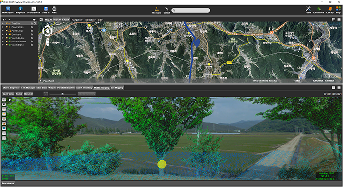
Managing Street-side trees in South Korea
This project is to construct a system for street tree maintenance that will systematically perform tasks related to street tree growth, repelling insect attacks, statistics for urban planning and more. Initiated in June 2018 by the local government of Haman city in Kyungnam Province, South Korea, completion is due by November 2018 ...