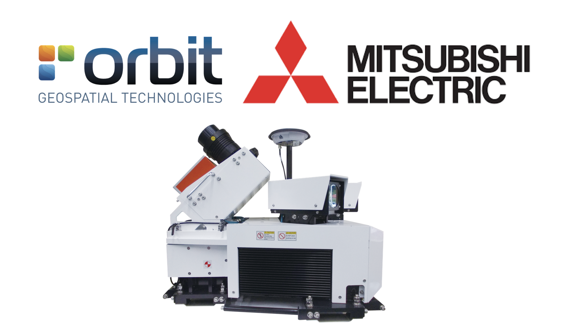
Orbit GT and Mitsubishi will showcase Mobile Mapping content from Mitsubishi’s Mobile Mapping system at Intergeo, Frankfurt.
“We’ve very pleased to announce that Orbit GT is supporting Mistubishi’s Mobile Mapping solution”, says Peter Bonne, CEO of Orbit GT. “Both companies will be showcaseing Orbit GT solutions based on Mitsubishi data at the Intergeo show.”
“Mitsubishi Electric will release new Mobile Mapping System, which is designed for the global market, in December 2018,” says Yasuhide Shibata, Senior General Manager of High-Precision Positioning Systems Dept. “We are confident that Orbit GT support will greatly help to enhance competitiveness of our system in the worldwide market.”
About Mitsubishi Electric Corporation
With nearly 100 years of experience in providing reliable, high-quality products, Mitsubishi Electric Corporation (TOKYO: 6503) is a recognized world leader in the manufacture, marketing and sales of electrical and electronic equipment used in information processing and communications, space development and satellite communications, consumer electronics, industrial technology, energy, transportation and building equipment. Embracing the spirit of its corporate statement, Changes for the Better, and its environmental statement, Eco Changes, Mitsubishi Electric endeavors to be a global, leading green company, enriching society with technology. The company recorded consolidated group sales of 4,444.4 billion yen (in accordance with IFRS; US$ 41.9 billion*) in the fiscal year ended March 31, 2018. (*At an exchange rate of 106 yen to the US dollar, the rate given by the Tokyo Foreign Exchange Market on March 31, 2018)
For more information visit: www.MitsubishiElectric.com
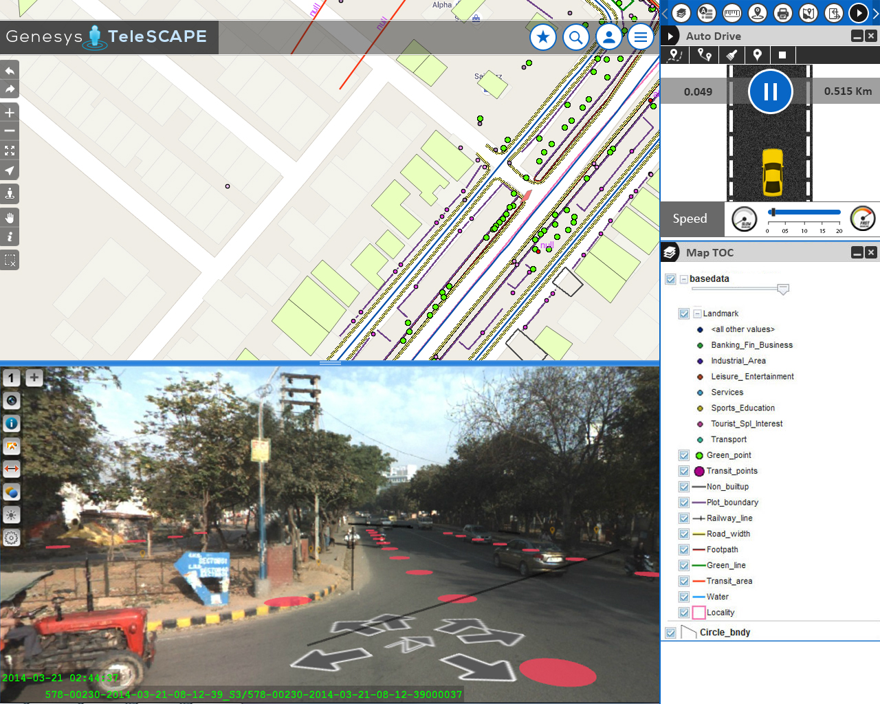
Streamlining the workflow of telecommunications in India
Besides very tight financial and inventory controls, maximum utilization of installed physical inventory and high quality of uninterrupted service to the customers, the biggest challenge faced by every Indian telecom company is the absence of a unified platform on which information pertaining to right of way, cable layout location and plans as well as individual asset locations are available ...


