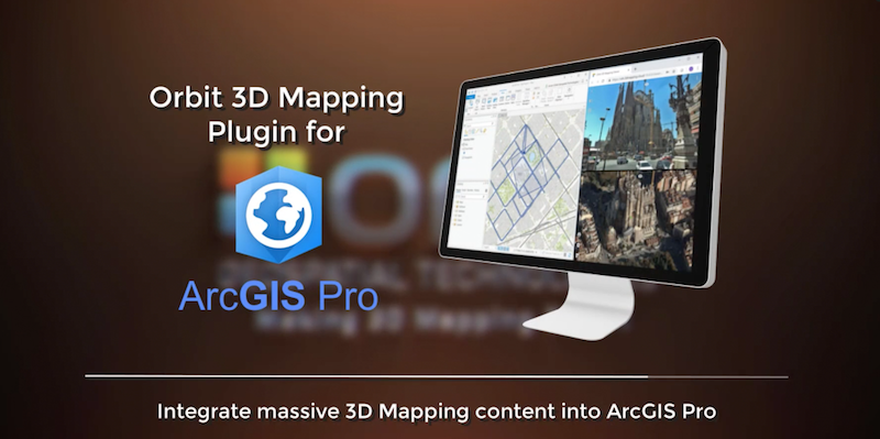
Orbit GT Orbit GT launches 3D Mapping plugin for Esri ArcMap, updates ArcPro and ArcOnline plugins

Orbit GT launches the Esri ArcMap plugin for its 3D Mapping portfolio.

“Our 3D Mapping front-end is now free available off the shelf for Esri’s ArcMap, “Says Peter Bonne, CEO of Orbit GT. “Next to plugins for ArcOnline and ArcGIS Pro, we now additionally provide a ready-to-use plugin for ArcMap upon popular request.”

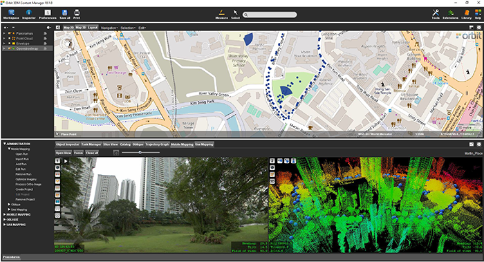
The 3D Mapping Viewer plugins for Esri platforms provide intuitive access to rich massive 3D data such as street-level imagery, terabytes of point clouds, aerial oblique imagery and much more.  The Viewer is neatly integrated into Esri’s host platforms to provide for optimal user experience. Plugins are based on version 19.6 of Orbit GT’s 3D Mapping portfolio.

Join us for a demo at the Esri UC on booth 437.

Plugins are available for download today at https://orbitgt.com/products/3dm-plugins/
Back to all news items
Getmapping provides UK with street imagery

Getmapping provides UK with street imagery

Getmapping plc is a leading provider of aerial photography, mapping products and data hosting solutions in the UK and South Africa. Founded in 1998, Getmapping was the first organisation to create a complete photographic record of the UK, called the Millennium Map. Since then, Getmapping has expanded to provide Web Services (WMS, WFS, INSPIRE), hosted GIS and consultancy to a range of industries in the public and private sector ...
Read More
Street Layer has generated savings in many departments and is used throughout the Council for anything from planning, insurance validation to our customer service team taking calls.
Martin Laker, GIS Team Leader at Bath and North East Somerset Council, UK

Related news