Orbit GT launches version 19.7 for its full 3D Mapping portfolio with some spectacular upgrades. At the same time, a new website is revealed.
“We’re proud of our fast update schedule, delivering new and enhanced features to our customers worldwide,” says Peter Bonne, CEO of Orbit GT. “The new orbitgt.com website provides our customers with more insight on solutions to their challenges and which software features can bring instant results.”
Version 19.7 includes :
- Introduction of new management console for 3DM Publisher
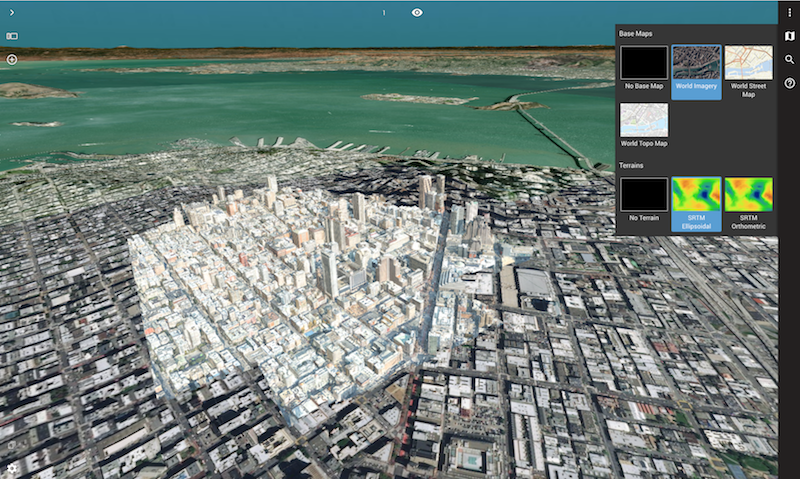
- Choice box for base maps and terrain (3DM Cloud)
- Usage of any Terrain file (3DM Cloud)
- Upload of City Model, Textured Mesh, Terrain, Resource enhancements such as Envelope, Thumbnail (3DM Cloud)
- Image and Resource Metadata display (3DM Cloud)
- Powerful support of vector data, including WFS services (3DM Cloud)
- Enhanced View Depth management (3DM Cloud)
- Enhanced Oblique data support (3DM Cloud)
- Smooth transition from Floor to Floor (3DM Cloud)
- Embedded Systems Requirements check (3DM Cloud)
- Maximize Single View (3DM Cloud)
- Enhanced E57 support (3DM Content Manager)
- Enhancements on Upload procedures and user feedback (3DM Content Manager)
- Enhancements on 3DM Cloud Console for data management
and a great number of updates and fixes.
On the image : Portion of the San Francisco 3D Model © Geomni & nFrames, World Imagery WMS service © Esri, draped on global SRTM Terrain (open source).
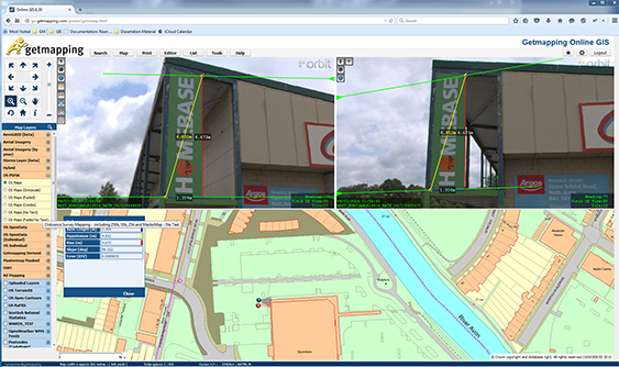
Getmapping provides UK with street imagery
Getmapping plc is a leading provider of aerial photography, mapping products and data hosting solutions in the UK and South Africa. Founded in 1998, Getmapping was the first organisation to create a complete photographic record of the UK, called the Millennium Map. Since then, Getmapping has expanded to provide Web Services (WMS, WFS, INSPIRE), hosted GIS and consultancy to a range of industries in the public and private sector ...


