Orbit GT and Trimble will be showing content from the new MX9 integrated in the Esri platform.
“We’re pleased to anounce that Mobile Mapping content from Trimble’s new MX9 system will be shown at the Esri UC, based on Orbit GT’s 3D Mapping Cloud integrated in ArcOnline and ArcGIS Pro”, says Peter Bonne, CEO of Orbit GT. “The data from this brand new system will be show on both the Trimble and Orbit GT (#333) booths.”
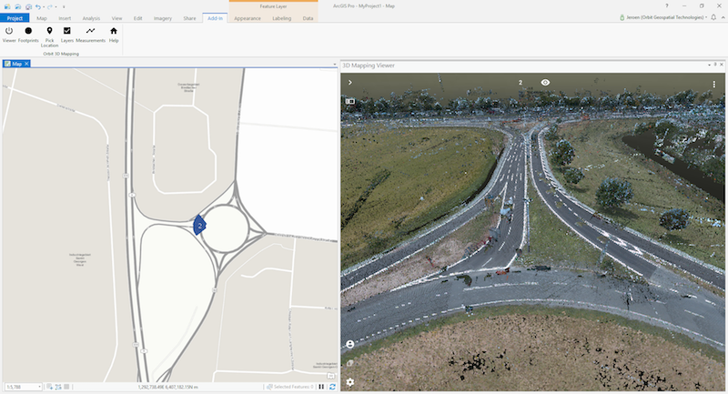
3D Mapping Cloud is Orbit GT’s SaaS platform designed to host, process and share massive volumes of LiDAR, Imagery and other reality capture data, however it has been collected. It supports high resolution Mobile Mapping as well as aerial Oblique mapping, eacht with fully automated adapted viewer behavior. Data can be shared informally using a 1-click Bookmark, or via a formal nicely setup Publication.

Bringing 3D Mapping to the people of Kuwait
In the past, people in Kuwait struggled to find a specific building. The Public Authority for Civil Information (PACI) intervened, inventing an address system that is unique in the world: The ‘Kuwait Finder’, an application for the public, governmental and private sectors. PACI now intends to also provide a full 3D map service for the country, which will allow users to see the streets of Kuwait in realistic 3D panoramic ...


