“I’m pleased to announce yet another great update for our popular SaaS platform from the Smart City Expo and World Congress in Barcelona”, says Peter Bonne, CEO of Orbit GT. “Already providing the widest support for 3D Mapping content, we now add visualisation and usage of textured meshes, use of DEM’s to drape terrain imagery, and many other new features.”
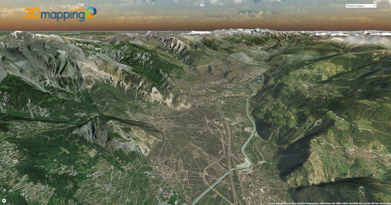
3D Mapping Cloud is the ultimate one-stop software solution to exploit all types of reality capture content. By adding Textured Meshes, interpretation of various content becomes even easier for the non-trained eye.
Highlights of new features are :
- Support for meshes (unlimited and streaming)
- Support for DEMs
- Drape flat imagery on DEMs
- Include annotations in Bookmarks !
- Many operation improvements on data management and viewing experience
All updates are available today.
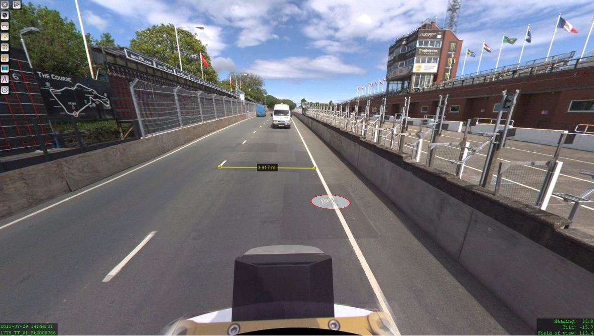
The Isle of Man: TT race mobile mapped for highway asset management and gaming
When LandScope Engineering was commissioned by the Isle of Man Government to accurately map both the TT and Southern 100 routes for the purposes of highway asset inventory and visualisation and to meet future 3D gaming and simulation requirements, a compelling and innovative solution was required ...


