
Smart 3D Mapping
Smart 3D Mapping is the advanced usage of any 3D Reality Capture technique, any use sensor and derived 3D data, bundled in a single platform for content management, dynamic visualization, actionable data extraction, analysis, and integration.
The definition of Smart 3D Mapping is at the heart of Orbit GT’s vision to provide the software solutions that make Smart 3D Mapping possible. It is comprised out of 3 main components, listed as ‘Capture, Model and Share‘.
Orbit GT’s portfolio covers the full chain of uses of all 3D Content, starting from the point where the hardware-based reality capture process is finished. From there on, Orbit GT software is all you need.
Mobile Mapping
Mobile Mapping, or Street-level data capture, is perhaps the most technical and challenging method to perform 3D Reality Capture. Mobile Mapping hardware vendors offer sensor setups with various precision, density, covering for wide use of these systems in numerous tasks.
Orbit GT insists to be vendor neutral and supports every hardware system, even if tailor-made or tuned to specific wishes and requirements. Where Mobile Mapping vans easily collect a Terabyte per day per vehicle, for Orbit GT software this is not an issue. The challenge to manage these massive volumes of data, imagery and point cloud alike, has been solved over 10 years ago.
Being hardware agnostic is key for many organizations, and Orbit GT is the only one that can guarantee this.

UAS / Drone Mapping
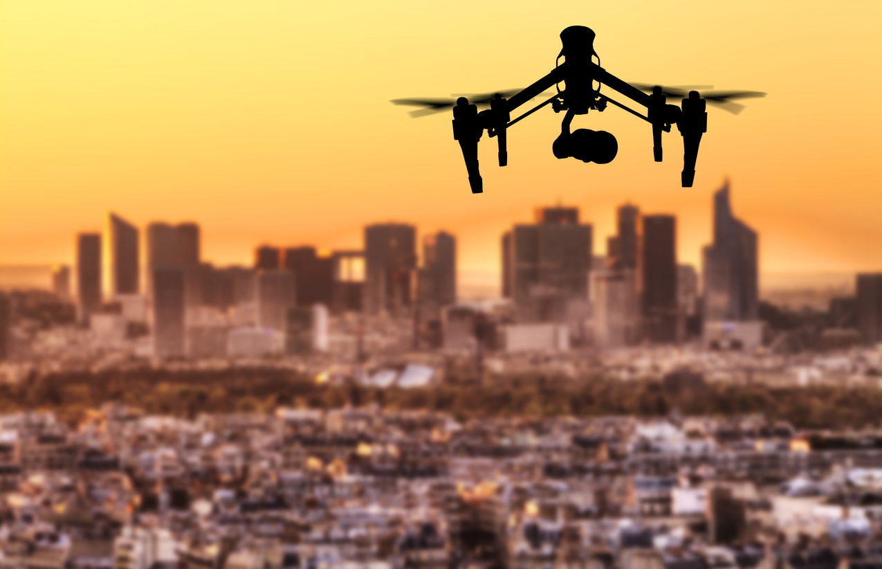
UAS / Drone Mapping is perhaps the most popular way of collecting 3D Reality data. Accessible to many contractors and surveying companies, and end users alike, the drone industry has sky-rocketed over the last years.
For Orbit GT, having a 50+ year background in photogrammetry, drone data has been supported since 2007. Today’s portfolio supports any drone data that can be collected, be it imagery, LiDAR point cloud or dense matched point cloud, and derived products such as textured mesh, 3D models or linework.
UAS / Drone data is fully part of Orbit GT’s offering and deployed throughout its offering, from management, to feature extraction and analysis, to online sharing. Vertical as well as oblique imagery is fully supported.
Aerial Oblique Mapping
Aerial data collection has been around for over 100 years. However, the Oblique aerial image has today become very popular indeed. Typically, it consists of 4 cameras oriented in cardinal directions. Each object on the ground is thus captured 4 times, i.e. from each side. Having images sideways adds greatly to the traditional orthophoto.
Orbit GT again covers for all 3D Data Capture systems, i.e. camera systems on the market, as well as for any aerial LiDAR system. Also, the derived products such as a dense matched point cloud or textured mesh are supported.
Aerial Oblique imagery can aid greatly to the interpretation of land and buildings, whereas tradition orthophotos do not allow deeper interpretations, and street-level mobile mapping does not cover parcels as a whole. For Orbit GT, adding Aerial Obliques to the mix is obvious and transparent. A superb add on in countless applications.

Indoor Mapping
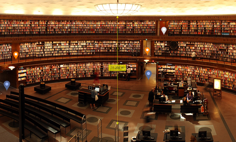
Indoor Mapping systems differ from outdoor Mobile Mapping by providing a solution for localization in GPS-denied areas. Typically, that solution is called SLAM. Other than that, these systems are much alike as the main sensors are LiDAR and Imagery.
Of course, Orbit GT covers each and every system throughout its portfolio. Furthermore, Orbit GT solutions implement the typical usage for Indoor Mapping, such as project-based access, the identification of floors and capability to monitor changes of time. Content Management and Feature Extraction benefit from the rich feature set standard available for all 3D Reality Capture content.
Sensors
In 3D Mapping, typical Reality Capture setups include LiDAR scanners and Camera’s, steered by a positioning unit(GPS, SLAM) and attitude unit (IMU). The resulting data is commonly referred to as Point Clouds and Images.
Point Clouds are direct results from LiDAR laser scanning, adding attributes such as reflectivity to each measured point. Images can be post-processed to generate a dense-matched point cloud, 3D points derived from image matching techniques. These point clouds do not have supplementary attributes, but can be used in a similar way. For Orbit GT software, point clouds are optimized for performant use in any task downstream: object detection, simple measurement, online streaming,…
Imagery appears in many varieties, categorized in 3 main types :
- the spherical image, providing a 360-degree view of the location, as well as fully up and down
- the planar image, providing a specific view angle, a field of view and mostly a higher resolution
- the rectified image, which eliminates the camera lens calibration and focal to present an image with fixed metrics, also known as ortho-photos
Orbit GT’s portfolio is agnostic of however an image has been taken, but represents it visually according to the metadata, restrictions and nature of the image type. Also, image interpretation and interoperability may be different depending on the altitude and angle of the image recording position.
