Come and visit our booth at todays largest UAS Expo in Las Vegas, Nevada, USA. Orbit GT will release and present its newest version of 3D Mapping software. This new release includes the high-end manual/semi-automated feature extraction tools, volume calculation, contour line generation, asset inventory workflow, and many more. All imagery and point cloud (LiDAR or DSM) are supported !

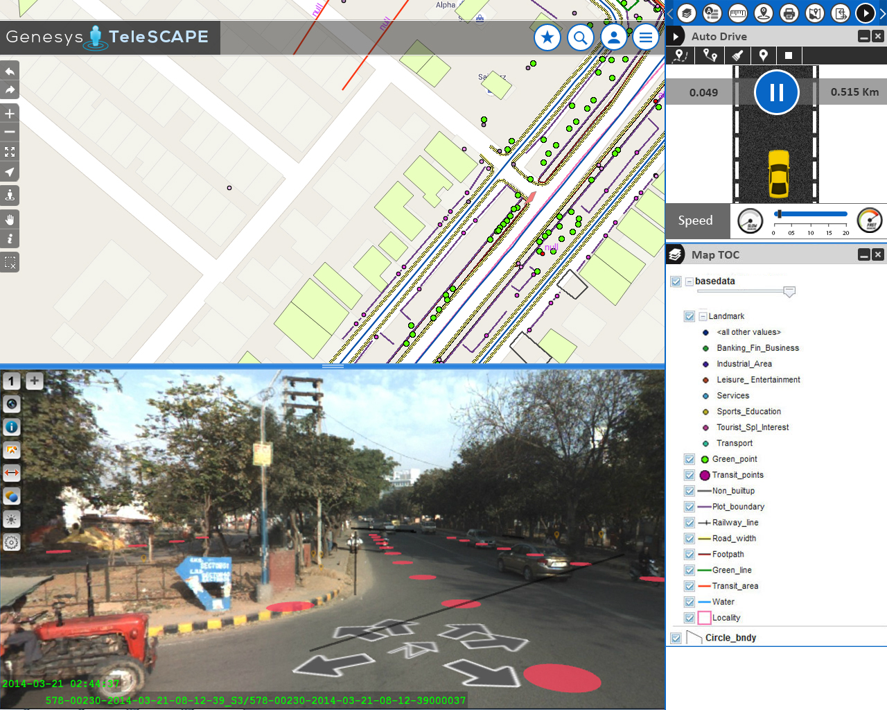
Streamlining the workflow of telecommunications in India
Besides very tight financial and inventory controls, maximum utilization of installed physical inventory and high quality of uninterrupted service to the customers, the biggest challenge faced by every Indian telecom company is the absence of a unified platform on which information pertaining to right of way, cable layout location and plans as well as individual asset locations are available ...