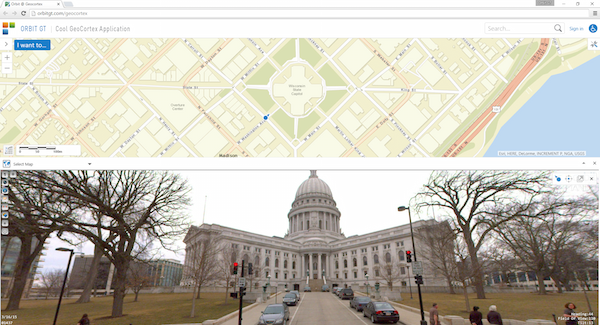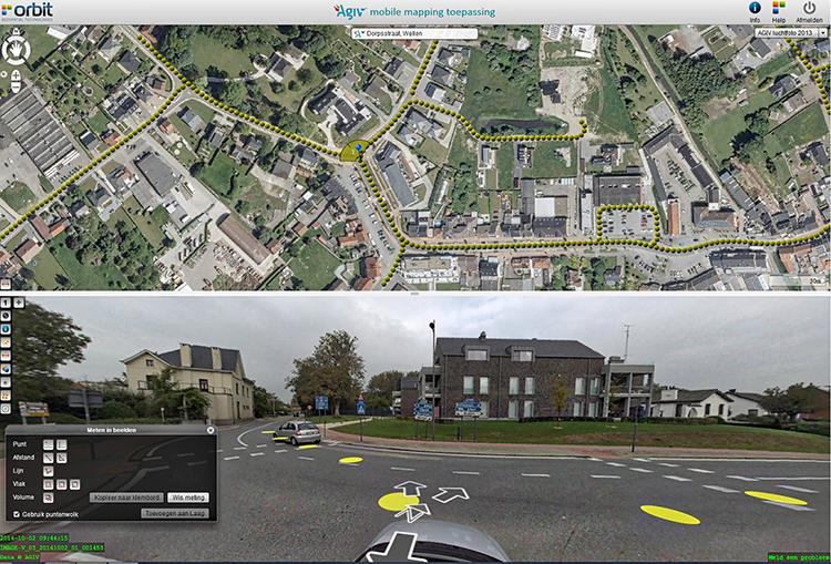
Orbit GeoSpatial Technologies and Latitude Geographics showcase Mobile Mapping and Oblique integration for GeoCortex at Esri Partner Conference, Palm Springs.
“We are pleased to announce that Latitude Geographics and Orbit GT have managed to present a standard integration of Orbit GT’s plugins into GeoCortex,”, says Peter Bonne, CEO of Orbit GT. “Latitude’s GeoCortex is no doubt a must-have instrument to create and manage geo-enabled websites. At the upcoming Esri Partner Conference, we will showcase the integration of our Mobile Mapping and Oblique plugin in GeoCortex, right out of the box.”

Flemish Government maps all streets
Based on a successful first round in 2008-2010, and on popular demand, the flanders geographical information agency (fgia) has decided to tender a second round of mobile mapping, covering all issues learned from round one ...


