Project
Based on a successful first round in 2008-2010, and on popular demand, the flanders geographical information agency (fgia) has decided to tender a second round of mobile mapping, covering all issues learned from round one.
FGIA started well prepared and well informed on this project: they organized a pre-tender RFI to assemble valuable information about the variations in quality, precision, capture speed, sensors, data volume, usability and deployment of data by contemporary mobile mapping solutions.
Implementation
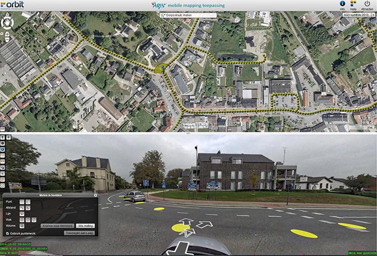
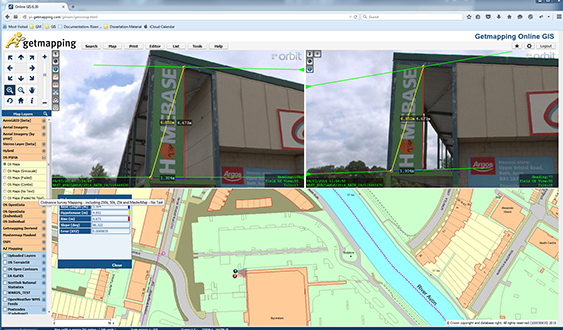
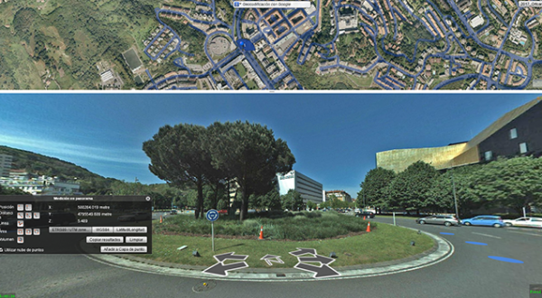
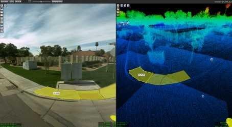
The tender was won in July 2014 by Image-V, a joint venture between Teccon and Grontmij. The job required the acquisition of spherical imagery and LiDAR data for all 65,000 kilometres of roads in Flanders. The acquisition requires the combination of high resolution images and 3D-point clouds to allow for detailed observations and measurements.
It also requires the blurring of privacy sensitive areas on the imagery, being faces and license plates. Within two years, all data must be brought online. The data are disclosed via multiple channels, provided by Orbit GT
Result
Overall, 12 to 13 million images will be collected of each 8,000 by 4,000 pixels resolution, totalling a volume of 120 TB. When adding the LiDAR data and historic series, the data hosting effort is estimated at 250 TB by the end of the job.
Download in-depth case
Loved by ...