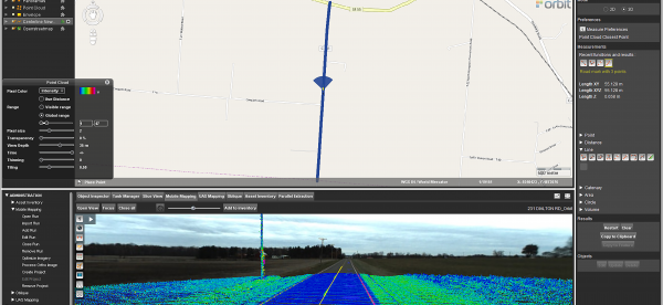
Mobile Mapping Redefines Pavement Marking Inventory in Ohio
It began with the Richland County Ohio Engineer’s office. They set out to inventory and inspect all their roadway pavement markings. The Richland County Engineer, Adam Gove, P.E., P.S., stated, “When evaluating the condition of our County Roads, it became clear that our pavement marking inventory was out of date. We did not have an effective way of tracking which roads had pavement markings, when they were last repainted, and ...
Read More
Read More
At MasterMind, we saw so much potential for the U.S. County governments to utilize the 3D Mapping Cloud along with the 3DM Plugin for ArcMap, that as of May 28th, 2019, MasterMind teamed with Orbit GT to become an official reseller for Orbit GT software. We look forward to continually spreading the word and praise of Orbit GT’s mobile mapping software, along with mobile mapping in general.


