
Orbit GT is pleased to announce that MaxOn Map Ltda, Brazil, has joined as Authorized Reseller of Orbit GT 3D Mapping products.
“We’re very happy to announce that MaxOn Map has joined as Authorized Reseller”, says Peter Bonne, CEO of Orbit GT. “MaxOn Map has a proven record of providing Mobile Mapping services and solutions to the Brazilian market. Together we will be able to bring our joint customers to the next level.”
“MaxOn Map is proud of this new alliance and will work intensively to position Orbit GT in the region and leverage our 3D Program Solution”, says Dario Gomes, MaxOn Map’s owner. According to Marcelo Amado, MaxOn Map’s Technical Director, Orbit GT as part of the MaxOn Map portfolio will be a transforming moment in the company’s history. This Orbit GT portfolio will definitively support MaxOn Map to meet customers’ requirements.
About MaxOn Map Ltda
MaxOn Map is aimed to facilitate, accelerate and bring accuracy to your decision making. We’re eager to map out the needs of your business and provide the necessary tools to achieve a successful and cost-effective decision making. Since 2014, clients have turned to us a committed and engaged Mapping Team that’s ready to deliver tailored Geospatial solutions on time.
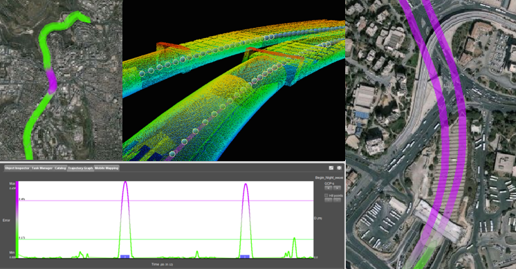
Tech Focus: Mobile Mapping a 600m tunnel in Israel
Photogrammetry is one of the most fundamental task’s Ofek Aerial Photography is doing on a daily basis. In almost every aerial mapping mission, there is a need in ground survey to complete the sampling of obscured objects ...


