
Orbit GT is pleased to announce that Cybernetech, Japan, has joined as Authorized Reseller of Orbit GT 3D Mapping products.
“We’re very pleased to announce that Cybernetech has joined as Authorized Reseller”, says Peter Bonne, CEO of Orbit GT. “Cybernetech is a major player in the 3D Mapping industry in Japan. Together we will be able to bring our joint customers to the next level.”
“It’s our great pleasure to join the ORBIT GT world family as their Authorized Reseller of Orbit GT 3D Mapping products in Japan”, says Yoji Hirakata, CEO of Cybernetech. “Digitizing the infrastructure in the city is a big trend in the world. We are very much excited to go into the new wave together with Orbit GT.”
About Cybernetech
Since its founding in 1992, Cybernetech has established itself as a leading value-added reseller of cutting-edge Data storage, KVM solution, FibreChannel, Networking, Optical transmission, InfiniBand, AV streaming over IP, Drone mapping & remote sensing, and now 3D mapping technology. With variety of sales channels, reliable technical support capabilities, and wide selection of products, Cybernetech’s products are preferred by numbers of customers in the Industries of Agriculture, Entertainment, Medical, Academic, Education, Machinery & Electronics, Defense and Government organizations.
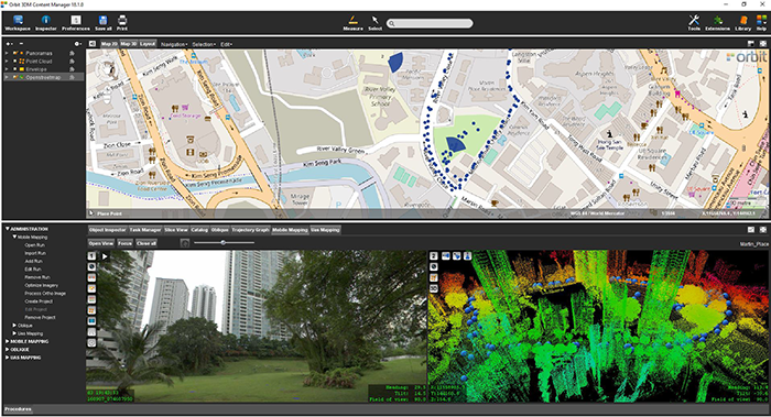
Singapore Smart Nation
As part of singapore’s quest to be a smart nation, the Singapore Land Authority (sla) embarked on a 3D national mapping initiative in 2014. This initiative aims to create and maintain an accurate national 3D map that is developed once and used by many ...


