Come and visit our booth at todays largest UAS Expo in Las Vegas, Nevada, USA. Orbit GT will release and present its newest version 17.0 of UAS Mapping software. This new release includes the high-end manual/semi-automated feature extraction tools, volume calculation, contour line generation, asset inventory workflow, and many more. All imagery and point cloud (LiDAR or DSM) are supported !
Get your copy of our UAS Mapping version 17 here !
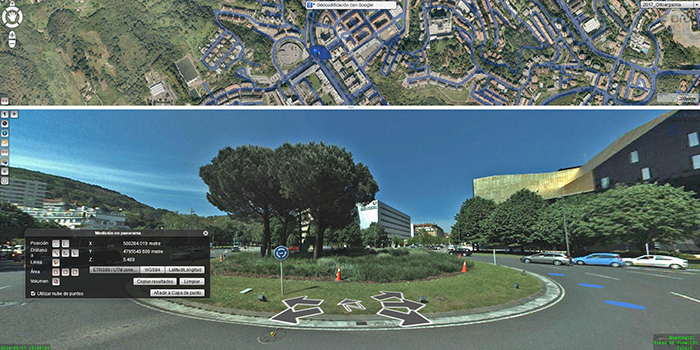
Municipality of Donostia/ San Sebastián
Open government and transparency are the key components of a modern municipal strategy. With these core principles in mind, the city council of Donostia/San Sebastián decided to embed Orbit 3DM Publisher in its web environment, in order to provide its citizens with the most accurate and up-to-date maps of the city ...