“I’m happy to announce that from today, Orbit GT and CycloMedia have formally agreed on mutual technical support”, says Peter Bonne, CEO of Orbit GT. “This mutual understanding opens up many possibilities for both companies and their customers and I’m convinced this agreement is a win-only for all parties involved. The Orbit GT team welcomes a much respected and successful company as CycloMedia on board.”
“With the integration of CycloMedia content into Orbit GT software, more users will have a way to access our high quality imagery by taking advantage of Orbit GT’s software features”, says Hans van Eijk, Global Product Strategy Director of CycloMedia Technology. “With the combination of powerful software and quality content, the user is enabled by a solution providing great efficiency benefits.”
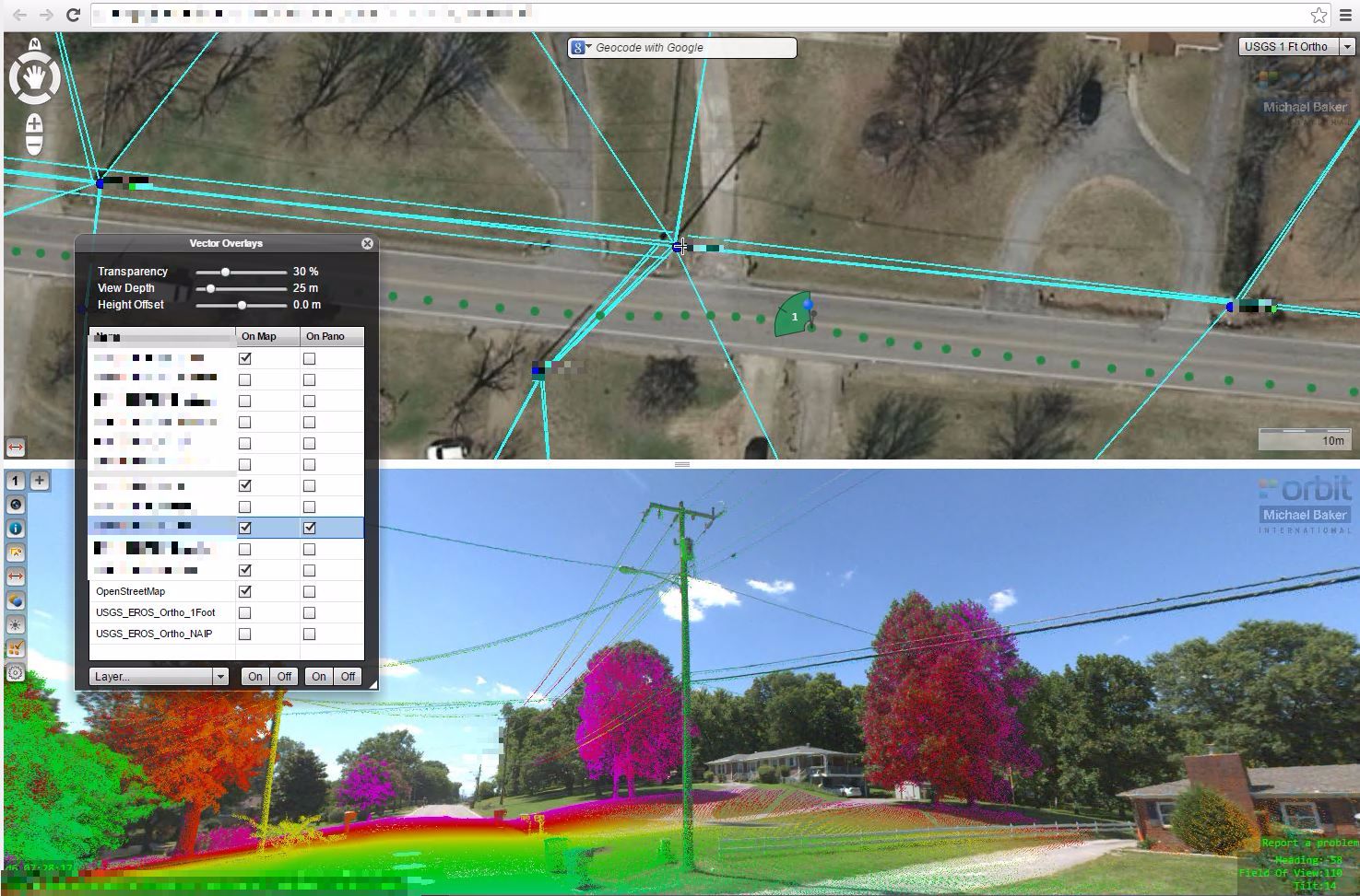
Orbit GT will provide the capabilities to seamlessly support CycloMedia cloud services, including additional capabilities, making all CycloMedia content usable in all Orbit GT Mobile Mapping products. The customer will only require a license to access the CycloMedia content.
Customers that require offline content will be equally supported in all Orbit Mobile Mapping solutions, but will need a different product configuration from CycloMedia.
This way, customers will gain freedom in the exploitation of the CycloMedia content, while both CycloMedia and Orbit GT maintain their current business models already known and accepted by the market.


