Orbit GT brings 3DEP content online to show on MAPPS, ILMF and ASPRS conferences Denver, CO.
“Happy to announce that we’ve brought 3DEP LiDAR content of the whole state of Pennsylvania online on our SaaS platform 3dmapping.cloud”, says Peter Bonne, CEO of Orbit GT. “ILMF is all about LiDAR, and this year 3DEP has a prominent position in it. We’re pleased that we can show this great data live and streaming. Come have a look at booth 600 !”
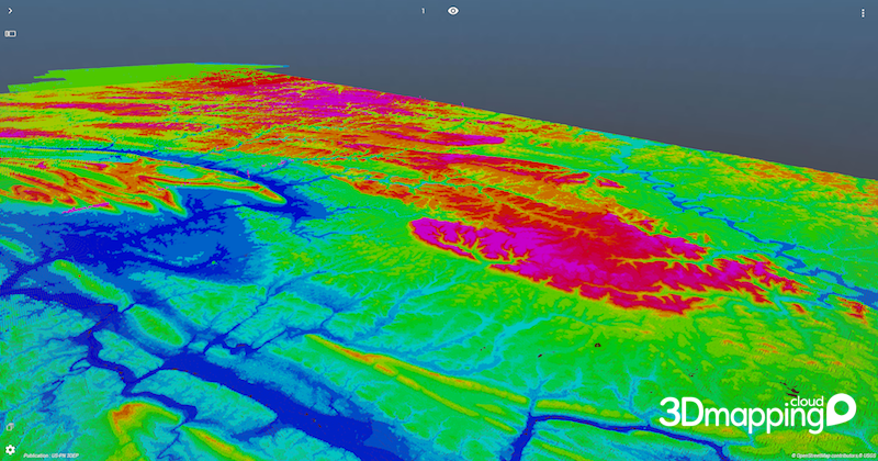
To bring 3DEP PA online, we downloaded all tiles (about 14 k tiles, some 100 Billion points) from the 3DEP website, processed it into 2 Orbit Point Cloud files (PA North and PA South), resulting in files 570 GB and 730 GB large. Quite OK for 3D Mapping Cloud.
All of PA state is available for free online viewing via this link : https://3dmapping.cloud/publication/R1hrPK6bYtPbn1o12Hyf
This link is online NOW !
Do use your desktop browser for best viewer experience (Latest Chrome is advised). If you’re at ILMF, pls note that WIFI may slow down the loading of content ono your browser !
Come visit us in booth 600 !
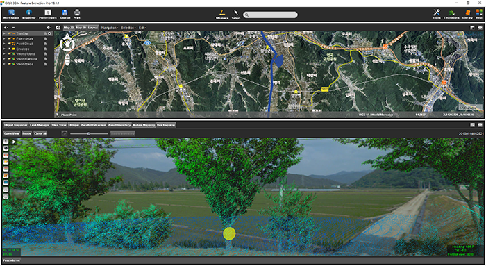
Managing Street-side trees in South Korea
This project is to construct a system for street tree maintenance that will systematically perform tasks related to street tree growth, repelling insect attacks, statistics for urban planning and more. Initiated in June 2018 by the local government of Haman city in Kyungnam Province, South Korea, completion is due by November 2018 ...


