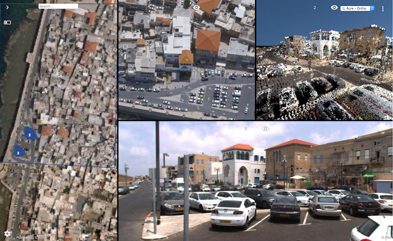
“Always happy to return to ILMF, a great yearly event !”, says Peter Bonne, CEO of Orbit GT. “Sensor & data fusion, from Street Level Mobile Mapping to Aerial Oblique Imagery, is still a major obstacle for many construction companies, surveyors, contractors, and governments. Orbit GT’s solutions change this today. Come have alook as Orbit GT will be showing the latest version 19 releases and major improvements of 3dmapping.cloud.”
Version 19 continues the road of seamless fusion of various sensors from any data capture method, street level Mobile Mapping can be instantly combined with Aerial Oblique, UAV and Terrestrial data collection, offering rich data analysis capabilities. Semi- and full auto detection tools speed up conversion of raw 3D capture data to actionable information in day-to-day operations.
Come visit us in booth 600 !
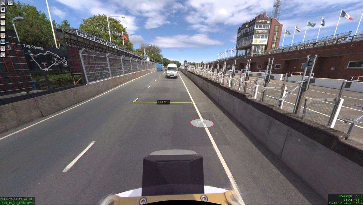
The Isle of Man: TT race mobile mapped for highway asset management and gaming
When LandScope Engineering was commissioned by the Isle of Man Government to accurately map both the TT and Southern 100 routes for the purposes of highway asset inventory and visualisation and to meet future 3D gaming and simulation requirements, a compelling and innovative solution was required ...


