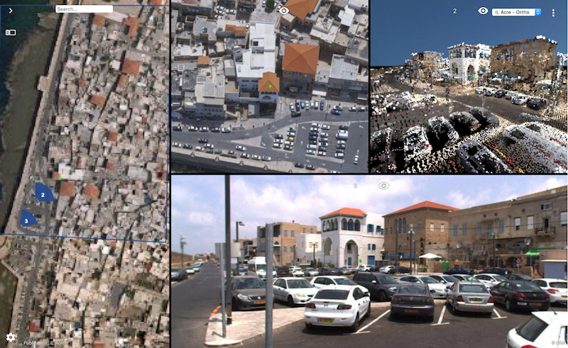
“Always happy to return to ILMF, a great yearly event !”, says Peter Bonne, CEO of Orbit GT. “Sensor & data fusion, from Street Level Mobile Mapping to Aerial Oblique Imagery, is still a major obstacle for many construction companies, surveyors, contractors, and governments. Orbit GT’s solutions change this today. Come have alook as Orbit GT will be showing the latest version 19 releases and major improvements of 3dmapping.cloud.”
Version 19 continues the road of seamless fusion of various sensors from any data capture method, street level Mobile Mapping can be instantly combined with Aerial Oblique, UAV and Terrestrial data collection, offering rich data analysis capabilities. Semi- and full auto detection tools speed up conversion of raw 3D capture data to actionable information in day-to-day operations.
Come visit us in booth 600 !
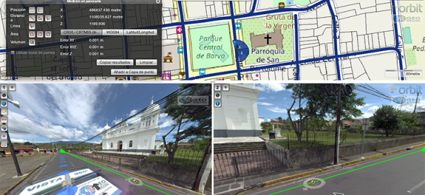
Vista 360: The digital transformation of Street Management in Costa Rica
One of the most important tasks of municipalities is managing their territory. This task is a daily challenge, because there are many variables: the maintenance of streets, sidewalks, piping, signage, trade, education, housing and factories. Not to mention the constant search for a balance between the quality of life of citizens and a responsibility for the environment ...
Read More
Read More
It has always been a challenge, not just to take daily measurements in order to take effective actions, but also to properly record these measurements.


