Orbit GT will exhibit at the joint SPAR 3D and AEC conference Anaheim, CA.
“We’re really looking forward to this joint SPAR 3D and AEC event. There’s a lot to show as new features have been released in our 18.1 desktop products, and very interesting developments on our SaaS platform 3D Mapping Cloud.”, says Peter Bonne, CEO of Orbit GT. “As reality capture techniques evolves and data volumes grow, so does the need for tools that can disseminate and share these large volumes. That’s exactly Orbit GT’s top expertise. No more time to waste on tiling and partitioning. Upload ans Share instantly.”
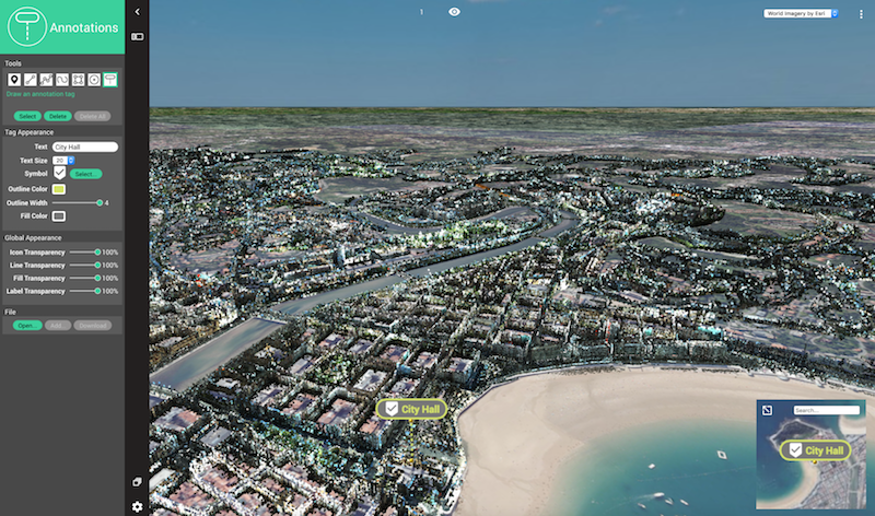
Current desktop version 18.1 incorporates many new features and tools to boost your productivity in using any type of reality capture content, whichevern business you are in. Easily combine Drone mapping, aerial Oblique and LiDAR, Terrestrial scanning, street-level and indoor mobile mapping. Discover our semi- and full auto detection tools speed up conversion of raw 3D capture data to actionable information in DOT’s day-to-day operations.
Come visit us in booth 240 !
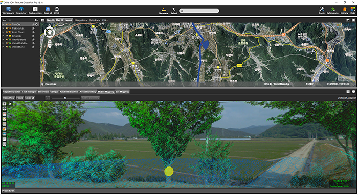
Managing Street-side trees in South Korea
This project is to construct a system for street tree maintenance that will systematically perform tasks related to street tree growth, repelling insect attacks, statistics for urban planning and more. Initiated in June 2018 by the local government of Haman city in Kyungnam Province, South Korea, completion is due by November 2018 ...


