Orbit GT announces the launch of version 19.10 of 3D Mapping Cloud.
“We keep on producing great new features and enhancements on our flexible and comprehensive cloud platform 3D Mapping Cloud,” says Peter Bonne, CEO of Orbit GT. “This release includes some very cool new features that will draw your attention. Do take a look on www.3dmapping.cloud/try-it-now !”
Version 19.10 includes :
- Introducing the Marketplace : resell your valuable 3D Content
- Introducing Projects to organize your work even better
- Introducing Guest Users with login requirement, to better organize external usage
- Play Function for street-level imagery, faster and better
- Synchronize Views, includes follow zoom
- Visibility can now be set per View
- Improved management of online and open sessions for Guest Users and Named Users.
- Open Image : look for best fit and next best fit automatically
- Geocoding, display and improvement
- Improved Resource Footprints appearance, set color.
- Interesting enhancements in the support of 3D Tiles for Textured Mesh.
- Annotations can use custom symbol url
- In Plugins : Login as Guest User to 3DMC Publication
- In Plugins : Login by Token to Publisher Publication
- Display coordinate reference system
- Added Publication Logo, Specific for each publication
- Support for high density Terrains
and a great number of updates and fixes.
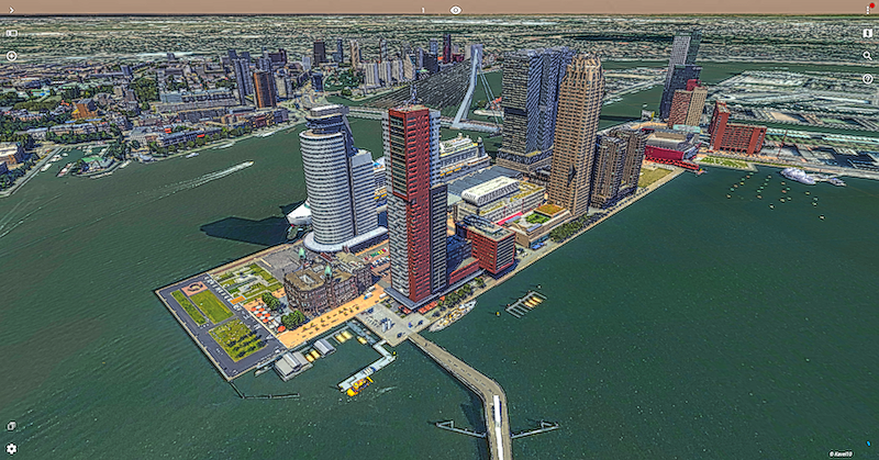
On the image : Portion of the Rotterdam 3D Model © Kavel 10, The Netherlands
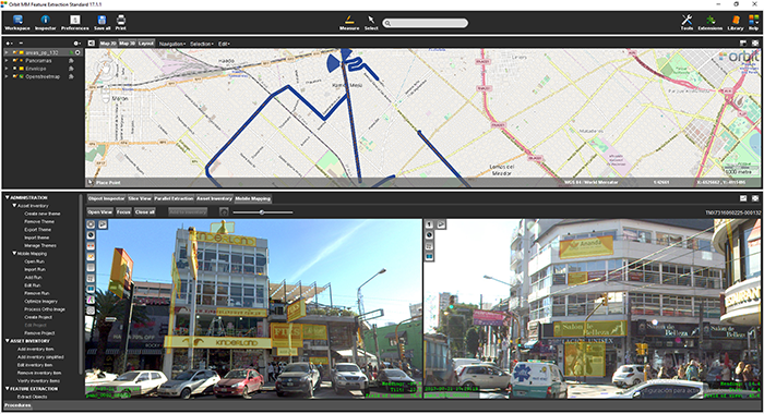
La Matanza, Argentina, optimizes public advertising using Mobile Mapping
The survey and identification of public advertizement space for the calculation of the advertising rights of La Matanza allows the city to quantify and typify all the installations and/or advertising elements through which the economic activity of a certain social actor is developed and materialized according to the ordinance tariff 2017 for the advertising rights of the municipality of La Matanza ...


