
“We’re opening 2 new Data Centers freely accessible for every customer”, says Peter Bonne, CEO of Orbit GT. “By adding a Data Center in the US and one in South-East Asia, we now cover the globe and can guarantee top performance for every user. After releasing many major upgrades to the platform, this again adds improved user experience.
The recent upgrade is full of new capabilities at very agressive prices – “With this upgrade, 3D Mapping Cloud basically renders all other platforms obsolete. We’ve got all Reality Capture systems covered, we’ve got multi-sensor systems covered, we’ve got real time fusion and CRS transformation covered, and now we throw in 100GB free storage and 5 free guest users for everyone.”
3D Mapping Cloud is Orbit GT’s SaaS platform designed to host, process and share massive volumes of LiDAR, Imagery and other reality capture data, however it has been collected. It supports high resolution Mobile Mapping as well as aerial Oblique mapping, eacht with fully automated adapted viewer behavior. Data can be shared informally using a 1-click Bookmark, or via a formal nicely setup Publication.
This new upgrade also inlcudes a single user subscription for only $46/month, also including 100 GB and 5 guest users for free. Check it out today !
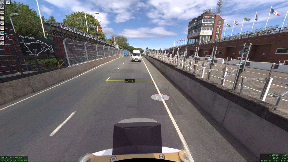
The Isle of Man: TT race mobile mapped for highway asset management and gaming
When LandScope Engineering was commissioned by the Isle of Man Government to accurately map both the TT and Southern 100 routes for the purposes of highway asset inventory and visualisation and to meet future 3D gaming and simulation requirements, a compelling and innovative solution was required ...


