Orbit GT releases its premiere Indoor Mapping product with a spectaculare range of functionalities. It’s availabe for download today.
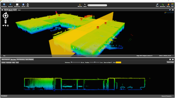
“Indoor Mapping v17 is an awesome new release”, says Peter Bonne, CEO of Orbit GT. “It’s wonderful blend of point cloud and imagery management, floor plan building and advanced feature extraction. On top of that, it supports all major manufacturers of Indoor Mapping hardware systems.”
Orbit Indoor Mapping supports ViaMetris, TIMMS, NavVis, Vexcel Panther, Pegasus:Two, and many more through a generic import interface. Imagery and Point Cloud are perfectly aligned. Using Orbit’s extent viewing capabilities, one can easily switch between different views. The standard slice viewer has been further tweaked to make the extraction of a floor plan extremely simple.
Futher more, manual, semi-automated and advanced feature extraction tools are available integrated within workflow optimized procedures.
Have a look at the Indoor Mapping v17 here : https://orbitgt.com/indoor-mapping/
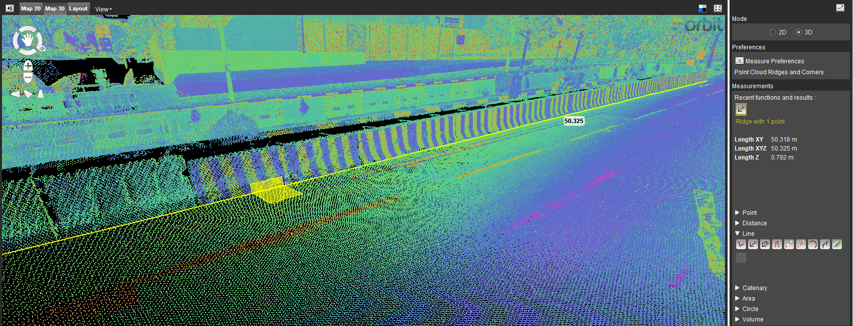
Autonomous vehicle maps in Singapore
GPS Lands Singapore took on an initiative to produce a highly detailed map for an autonomous vehicle testing area in Singapore using 3D Mobile Mapping system to collect the data and perform feature extraction using the 3D data ...


