
Orbit GeoSpatial Technologies announces it will be presenting at the FTTH Conference, Luxembourg, later this week. Orbit GT has been invited to participate in a workshop organized by FiberPlanIT, a partner and specialist in the optimization of Fiber network planning and roll-out.
“We are pleased to have been invited by our partner FilberPlanIT to present at their FTTH Conference workshop”, says Peter Bonne, CEO of Orbit GT. “FiberPlanIT is a highly respected company specialized in fiber network planning and our participation will focus on the practical use of mobile mapping for the Telco industry focusing on new fiber networks.”
Mobile Mapping is an extremely useful and cost effective instrument to improve planning for FTTx projects. Orbit GT’s expertise and tools seamlessly work with FiberPlanIT planning tools, for example for base map creation, road infrastructure extraction, asset management, asset planning, visuals checks & judgement, placement checks, evaluate trenching options, 3D analysis, line of sight analysis and much more.
Mobile Mapping dramatically reduces field trips resulting in faster, cheaper, and more reliable planning results.
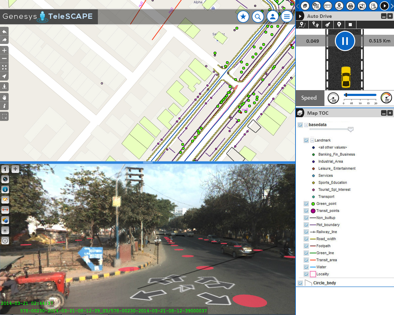
Streamlining the workflow of telecommunications in India
Besides very tight financial and inventory controls, maximum utilization of installed physical inventory and high quality of uninterrupted service to the customers, the biggest challenge faced by every Indian telecom company is the absence of a unified platform on which information pertaining to right of way, cable layout location and plans as well as individual asset locations are available ...


