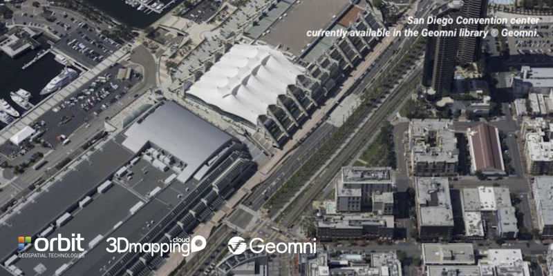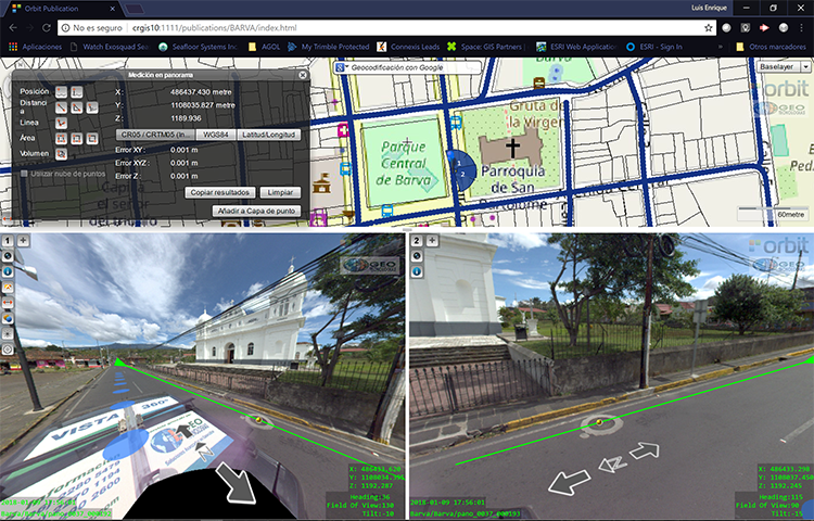
“Orbit GT and Geomni are proud to announce a major breakthrough for Esri users looking to use aerial Oblique imagery”, says Peter Bonne, CEO of Orbit GT. “Orbit GT will showcase Geomni Oblique content integrated in ArcOnline/ArcGIS Pro at the Esri UC. Geomni covers all major US cities in Oblique imagery which now instantly come available to all Esri customers. Join us on booth 333 to see how it works.”
Geomni, a business unit of Verisk Analytics, provides aerial acquisition capability throughout the continental US and Hawaii. Geomni’s massive library of hi-resolution data is available for subscription within the OrbitGT viewer. The library collection plan includes every community of 15,000 people or more in the US, with annual or higher refresh rates on communities of 50,000 or more. In addition, Geomni can provide custom collections, or provide content via drives, download, or API’s for immediate and precise 3D measuring within the OrbitGT viewer.
Come and take a look at booth 333 (Orbit GT).


