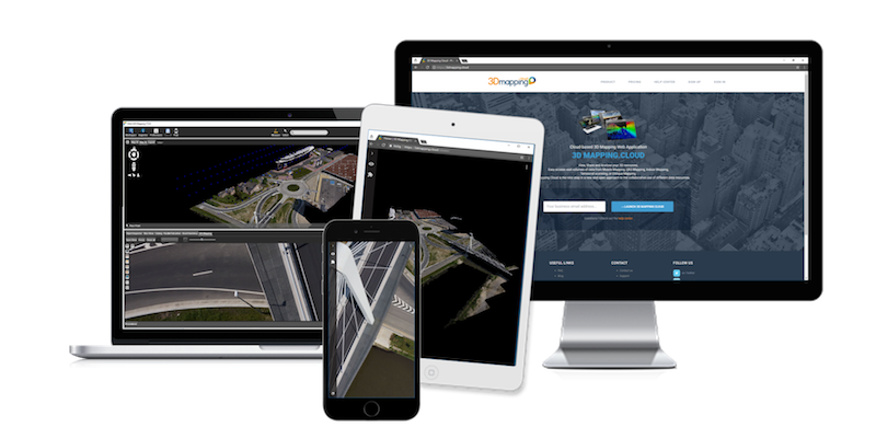
“With our new portfolio, we are reaching out to UAV Mapping professionals more than ever before”, says Peter Bonne, CEO of Orbit GT. “As version 18 bundles all the expertise and technology to support the various types of 3D mapping techniques, for sure mapping based on UAV’s has a strong support in our product line. Come and visit us in booth 715 and join us for the presentation on Wed Oct 24th, 1:15-1:30 pm in the exhibit hall theatre.”
As we experience many of Orbit GT customers are using several techniques of reality capture, such as Mobile Mapping and UAS Mapping, we worked towards an integration of our portfolio to offer a single product line covering the needs for each of these domains. This native integration is a sure win for every customer and user.
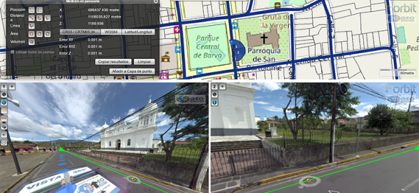
Vista 360: The digital transformation of Street Management in Costa Rica
One of the most important tasks of municipalities is managing their territory. This task is a daily challenge, because there are many variables: the maintenance of streets, sidewalks, piping, signage, trade, education, housing and factories. Not to mention the constant search for a balance between the quality of life of citizens and a responsibility for the environment ...
Read More
Read More
It has always been a challenge, not just to take daily measurements in order to take effective actions, but also to properly record these measurements.


