Challenge
In the past, people in Kuwait struggled to find a specific building. The Public Authority for Civil Information (PACI) intervened, inventing an address system that is unique in the world: The ‘Kuwait Finder’, an application for the public, governmental and private sectors. PACI now intends to also provide a full 3D map service for the country, which will allow users to see the streets of Kuwait in realistic 3D panoramic view.
Solution
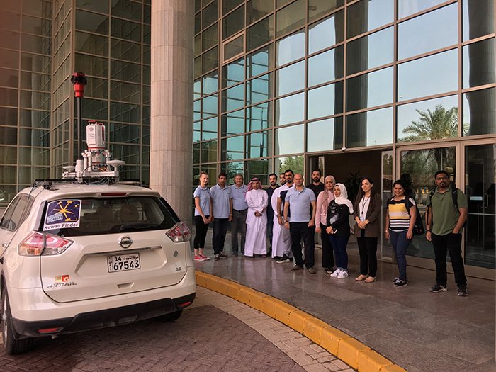
Since PACI is always looking for and evaluating the best technologies that meet its requirements, it reviewed several LiDAR technology and solution providers. PACI eventually selected Mena3D, which analysed PACI’s requirements and suggested a stateof-the-art technology solution. Mena3D provided the RIEGL VZ-400i laser scanner with the Mobile Mapping Feature VMZ in combination with the Orbit 3DM Content Manager, Orbit 3DM Feature Extraction & Orbit 3DM Publisher software.
Result
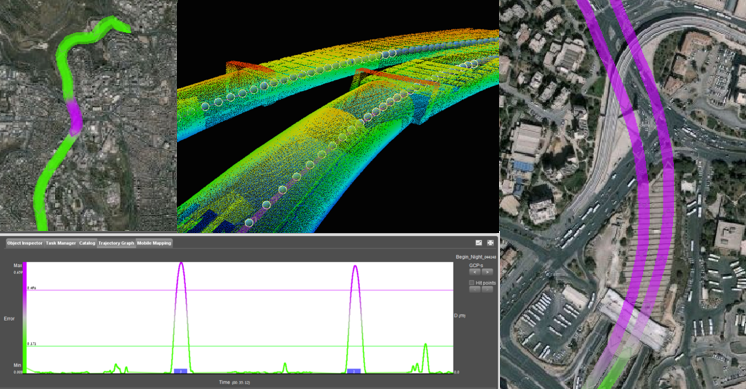
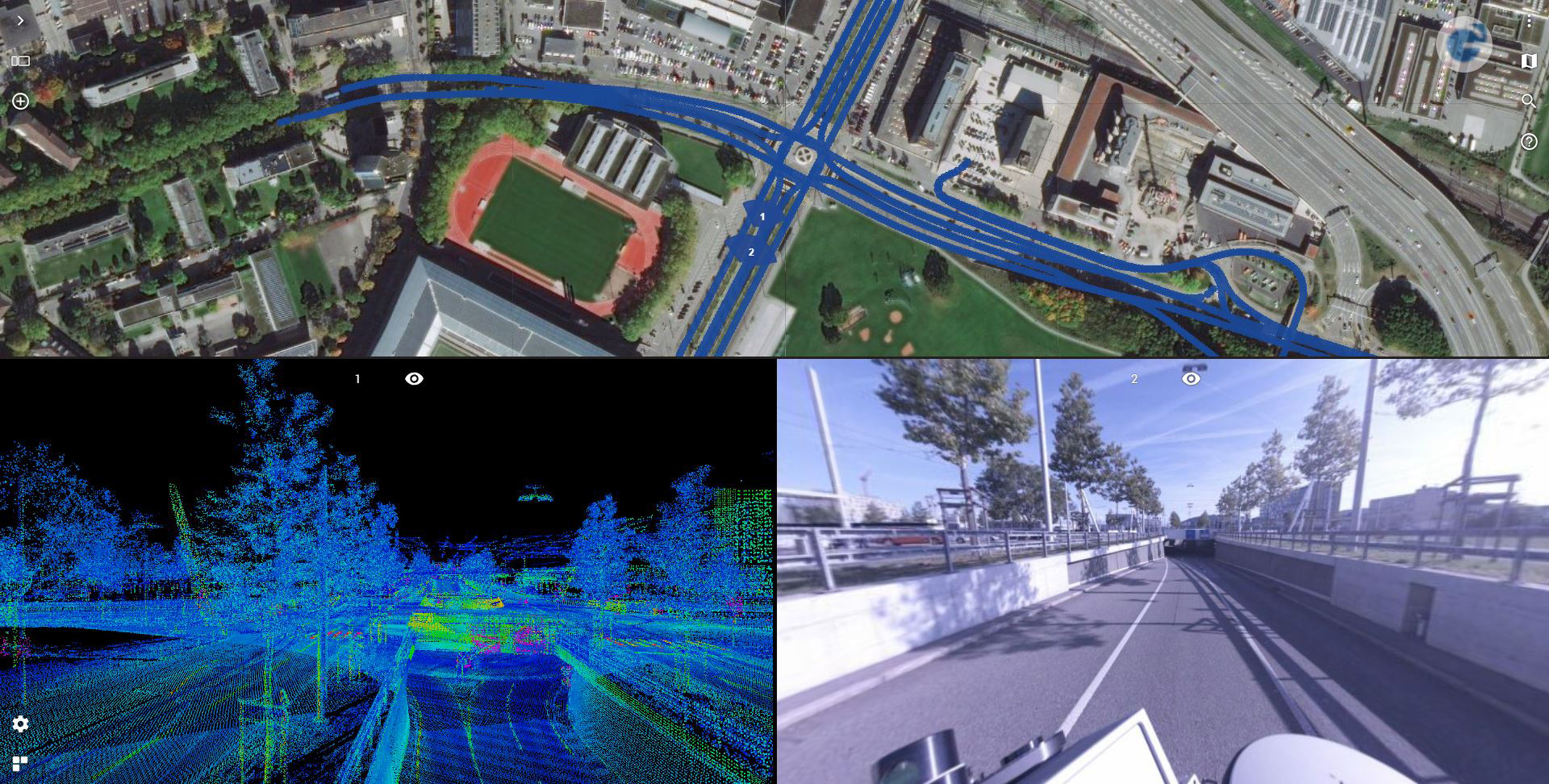
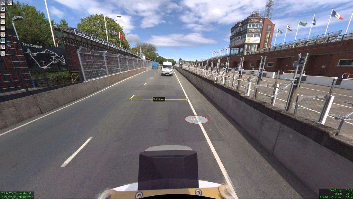
Orbit 3DM Content Manager, Orbit 3DM Feature Extraction & Orbit 3DM Publisher software fit the application perfectly. They offer limitless imagery and point clouds which allow the management of every single run and the bundling of raw data into manageable projects. This way, all 3D data is optimised for performance. Manual, semi-manual and automated measurements can easily be performed thanks to the intelligent Feature Extraction solutions.