“I’m happy to announce that new software updates now become available to the user at a much higher pace than ever before.”, says Peter Bonne, CEO of Orbit GT. “Our customers can now immediately take advantage of new features and updates. This release includes all Feature Extraction products and offer new and improved functionalities.”
3DM Feature Extraction portfolio contains a Basic, Standard and Pro version, each offering new features and enhancements to existing tools. Together with this portfolio, also the 3DM Content Manager and both 3DM Blurring products are updated.
Main new features are :
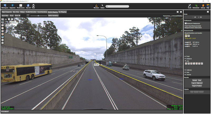
- Semi-automatic fence extraction measurement.
- Semi-automatic central line of a railway measurement added to the railway detector.
- 3D circular arc measurement based on 3 measured coordinates
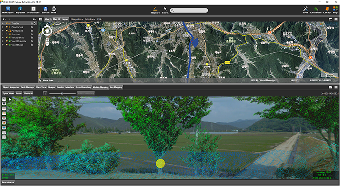
- Improved representation of the planar images overlayed with spherical image
All updates are available today :
https://orbitgt.com/3dm-feature-extraction/#download
https://orbitgt.com/3dm-content-manager/#download
https://orbitgt.com/3dm-blur-erase/#download


